Indian Ocean Trade Networks
Begin
14 pages · ~28 min
Indian Ocean Trade Networks
A training on the Indian Ocean trade networks, covering their history, key routes, and impact for students and history enthusiasts. Learners will gain a foundational understanding of this vital maritime system.
What you’ll learn
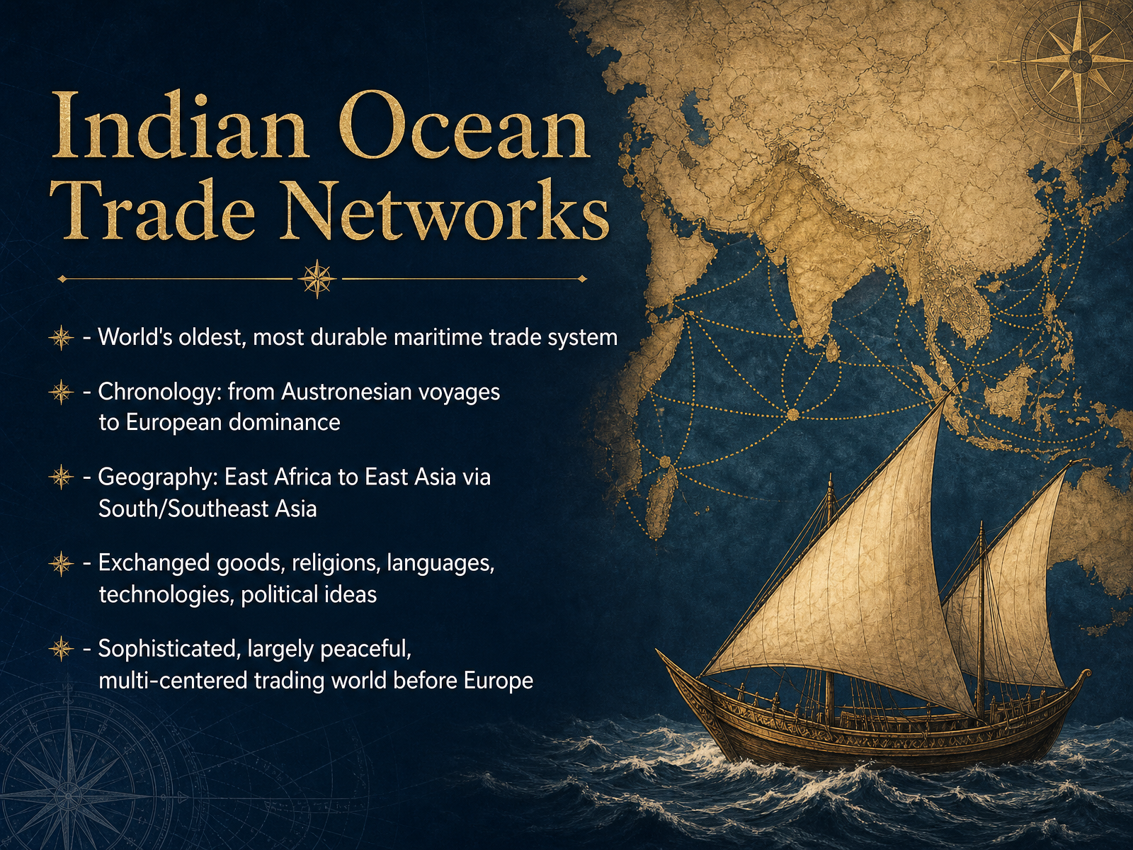
- 01Indian Ocean Trade NetworksWelcome to this overview of the Indian Ocean Trade Networks. It is a pleasure to have you here. In this course, we will explore one of the most remarkable chapters in human history. The Indian Ocean hosted the world's oldest and most durable maritime trade system. Think about that for a moment. Long before highways and airplanes, people built a connected world across open water. This story stretches from the earliest Austronesian voyages thousands of years ago, all the way to the arrival of European powers. Geographically, we are looking at a vast arc, running from East Africa to East Asia, with South and Southeast Asia at its center. This was never just about buying and selling goods. Across these routes, people exchanged religions, languages, technologies, and political ideas. Before European dominance, this was a sophisticated, largely peaceful, and multi-centered trading world. It did not belong to any single empire. Instead, many cities and cultures shared in its prosperity. So, as we begin, let's set aside any idea that global connection started only with colonialism. The Indian Ocean tells a much older story. Let's turn to our next slide and consider why the Indian Ocean matters so much in world history.cambridge.orgindianoceanhistory.orgen.wikipedia.org+22 min
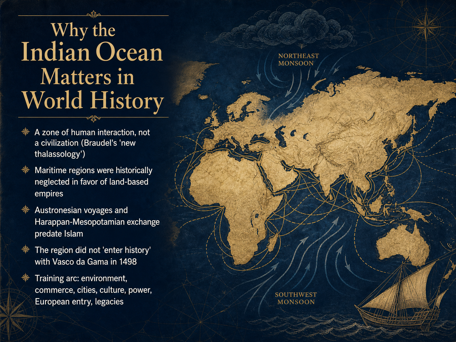
- 02Why the Indian Ocean Matters in World HistorySo why does the Indian Ocean hold such an important place in world history? For a long time, our view of the past focused on land-based empires. We looked at kingdoms, borders, and armies on solid ground. But the ocean was not an empty space. It was a zone of connection. The Indian Ocean ties together East Africa, the Middle East, South Asia, and Southeast Asia. Historians now see it as a single, integrated world of human interaction. This change in thinking owes a lot to the idea of a "new thalassology," which views the seas as historical places in their own right. And this is not a recent story. Long before Islam spread, the Indian Ocean was already busy. Austronesian peoples crossed vast stretches in outrigger canoes. Traders from the Harappan cities shipped goods to Mesopotamia. Textiles, spices, and ideas moved across these waters for millennia. It is tempting to think this region only entered history when Vasco da Gama arrived in 1498. But that is misleading. He simply joined a network that was already ancient and well-organized. In this section, we will build a full picture. We will start with the monsoon winds that powered all this movement, then look at trade routes, port cities, shared cultures, and the eventual rise of European power.
 cambridge.orgindianoceanhistory.orgen.wikipedia.org+22 min
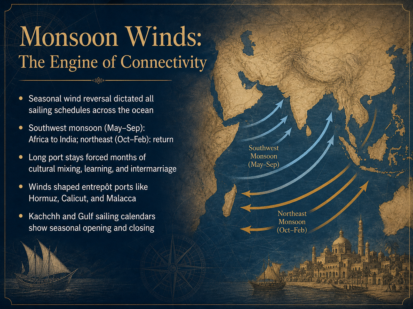
 - 03Monsoon Winds: The Engine of ConnectivityNow let's turn to the force that made this vast maritime network possible. The monsoon winds were not just weather. They were the engine of connectivity across the Indian Ocean. These winds reverse direction with the seasons. From May to September, the southwest monsoon blows from Africa toward India. Sailors rode these winds eastward. Then, from October to February, the northeast monsoon takes over. It pushes ships back from India toward Africa. That seasonal rhythm dictated every sailing schedule. It was not a suggestion. It was the law of the ocean. Because of this, ships often had to wait months in port for the wind to change. Think about what happens when hundreds of sailors, merchants, and travelers spend months together. They learned each other's languages. They shared skills. They formed families. Ports like Hormuz, Calicut, and Malacca grew into bustling hubs precisely because the winds forced a pause there. Local sailing calendars, like those used in Kachchh and the Gulf, marked when the sea was open and when it was closed. Next, we'll look at the ships and navigation techniques that put these winds to work.
 meikal.github.iogithub.comindian-ocean.africa.si.edu+22 min
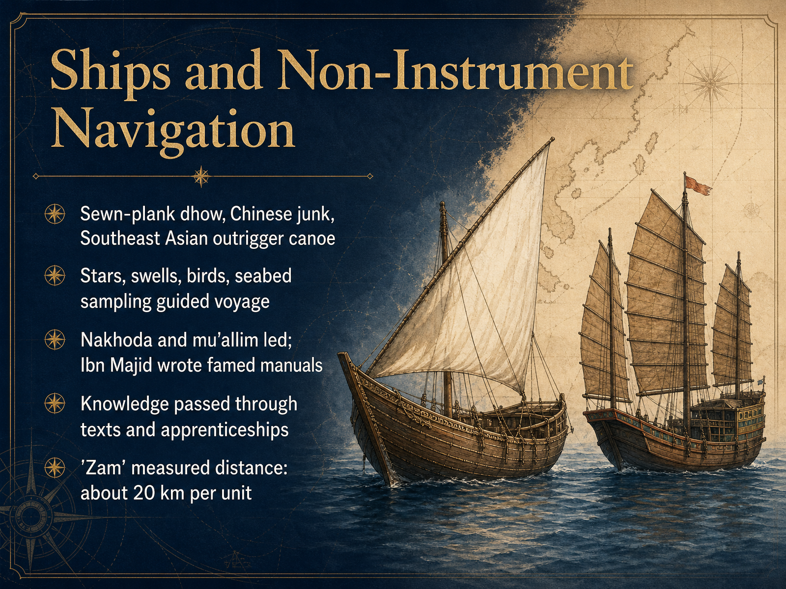
 - 04Ships and Non-Instrument NavigationNow, let's consider the vessels and the remarkable skills that guided them. The Indian Ocean hosted a variety of ship designs, each suited to its environment: the sewn-plank dhow of Arabia, the massive Chinese junk, and the swift Southeast Asian outrigger canoe. What is fascinating is how sailors navigated without modern instruments. They read the stars at night, observed ocean swells and bird flight, and even sampled the seabed to determine their location. This knowledge was held by experts like the nakhoda, the captain, and the mu'allim, the navigator. The fifteenth-century navigator Ibn Majid wrote famous manuals that codified this expertise, but much of it was passed down through apprenticeships and practical texts. A key unit of measurement was the zam, roughly twenty kilometers, which helped sailors estimate distances traveled. These methods demonstrate how deep environmental knowledge turned the ocean into a network of predictable routes. Next, we will look at the goods that moved across this ocean and made these voyages so valuable.
 meikal.github.iogithub.comindian-ocean.africa.si.edu+22 min
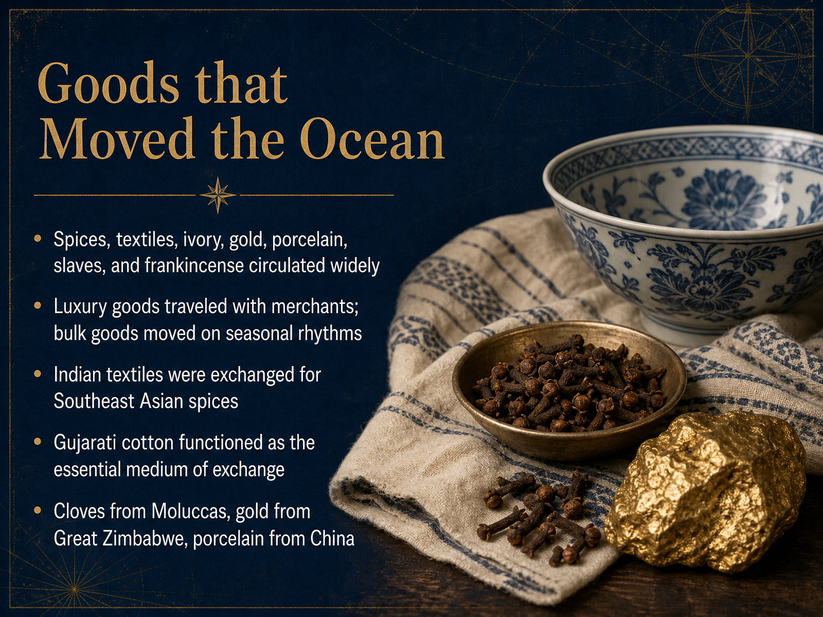
 - 05Goods that Moved the OceanNow let's look at what actually moved across this ocean. The trade network carried spices, textiles, ivory, gold, porcelain, and frankincense. It also carried enslaved people. Luxury goods traveled with merchants who could handle high risks and high rewards. Bulk goods moved on a different calendar, tied to the monsoon winds. Indian textiles were the engine of this system. They were traded directly for Southeast Asian spices. Gujarati cotton was so widely accepted that it worked as a common currency. A merchant could use it to settle accounts from East Africa to Indonesia. Cloves came from the Moluccas. Gold came from Great Zimbabwe. Porcelain came from China. Each product had a specific origin, and each origin depended on this connected world. Next, we will see the port cities and merchant diasporas that made these exchanges possible.
 theprint.inworldhistory.orgepress.nus.edu.sg+21 min
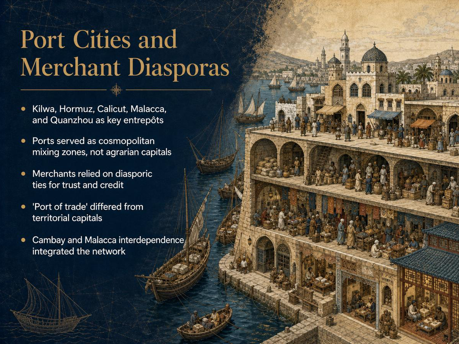
 - 06Port Cities and Merchant DiasporasNow let's look at where all this activity actually happened—the port cities themselves. Kilwa, Hormuz, Calicut, Malacca, and Quanzhou were the vital nodes of this network. But here is a key distinction: these were not like typical agrarian capitals, where power came from controlling land. They were cosmopolitan mixing zones. Merchants from Gujarat, Arabia, China, and Southeast Asia lived and worked side by side. To manage business across such vast distances, traders relied on diasporic ties—shared language, kinship, or religion—to build trust and extend credit. These 'ports of trade' operated by different rules than territorial capitals. They existed to facilitate exchange, not to control farmland. Consider the interdependence between Cambay and Malacca. One Portuguese observer noted that Malacca could not live without Cambay, nor Cambay without Malacca. Gujarati textiles flowed east, and Southeast Asian spices flowed west. This mutual reliance is what integrated the entire Indian Ocean system. Next, we'll explore how that trust was built and maintained through credit and trade infrastructure.
 open.library.ubc.capress-files.anu.edu.aumdpi-res.com+21 min
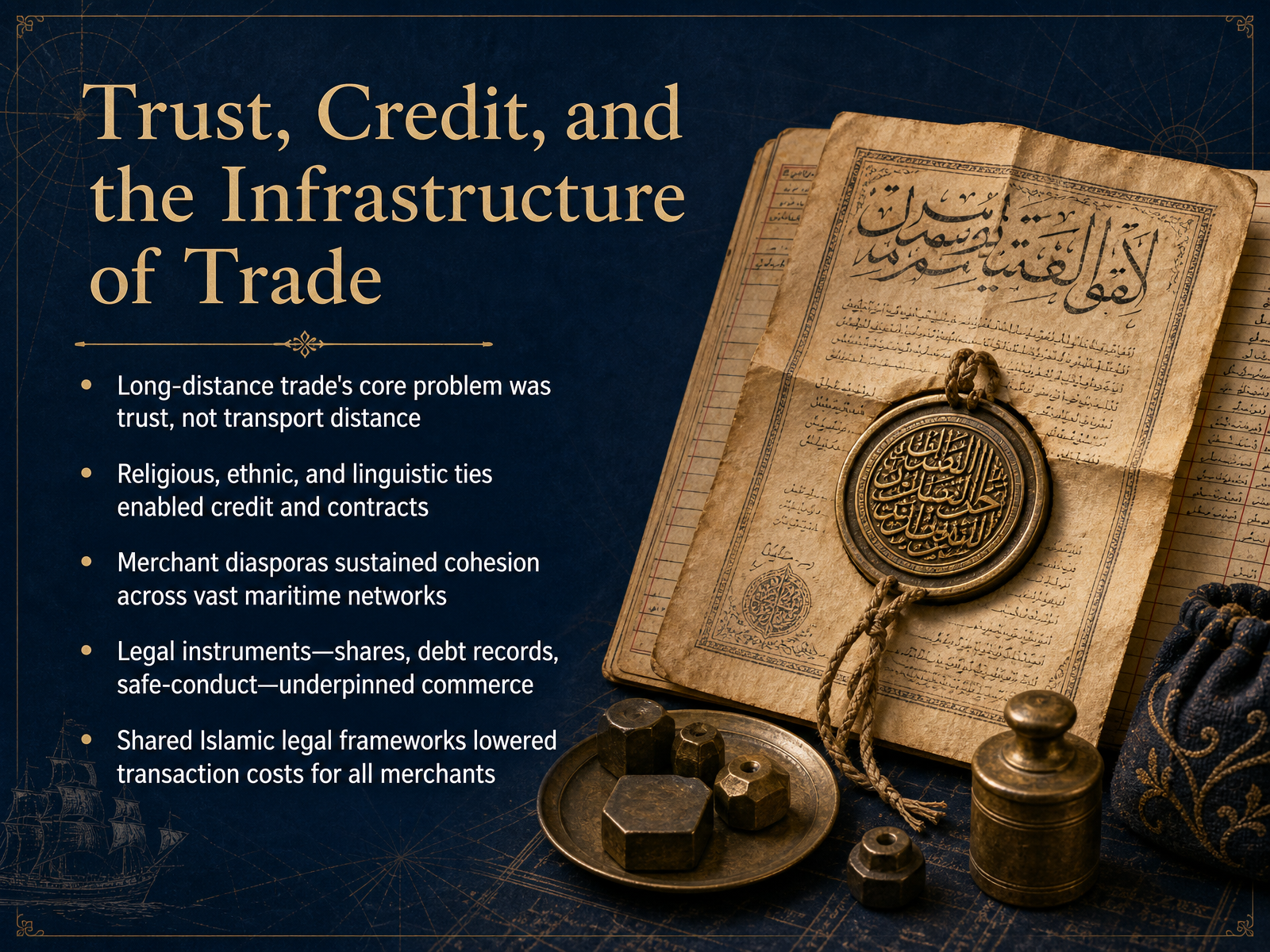
 - 07Trust, Credit, and the Infrastructure of TradeNow let's turn to the hidden infrastructure of Indian Ocean trade. When we look at a map, it is easy to imagine that distance was the biggest obstacle. But for merchants, the real challenge was trust. How do you send valuable cargo across thousands of miles with people you may never see again? The answer was not faster ships. It was social connection. Traders relied on shared religious, ethnic, and linguistic ties to extend credit and enforce contracts. Muslim, Jewish, Hindu, and other merchant communities formed diasporas that linked ports from East Africa to Southeast Asia. These networks functioned like extended families of commerce. A merchant in Calicut could trust a partner in Malacca because they belonged to the same community and followed the same rules. Legal instruments also mattered. Merchants used shares, debt records, and safe-conduct documents to manage risk. And across much of the ocean, a shared Islamic legal framework lowered transaction costs, because everyone understood the same commercial rules. So the infrastructure of trade was not just harbors and warehouses. It was built from people, institutions, and shared systems of belief. That foundation carried more than goods. It also carried ideas, as we will see next in our look at religious and cultural exchange.
 open.library.ubc.capress-files.anu.edu.aumdpi-res.com+22 min
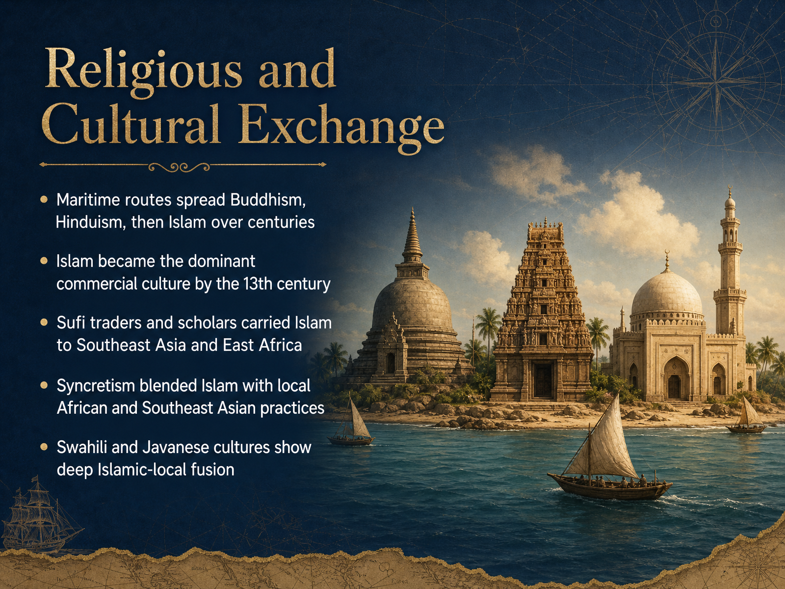
 - 08Religious and Cultural ExchangeNow let's turn to one of the most lasting effects of these trade routes: the exchange of faith and culture. Over many centuries, the sea lanes carried Buddhism, then Hinduism, and later Islam across the Indian Ocean. By the thirteenth century, Islam had become the dominant commercial culture in this maritime world. This was not a sudden conquest, but a gradual process tied closely to trade. Sufi traders and scholars were especially important. They traveled alongside merchants and carried Islamic teachings to Southeast Asia and the East African coast. What emerged was often a blend of traditions. Local African and Southeast Asian practices merged with Islamic beliefs, a process known as syncretism. We can see this fusion clearly in two places. The Swahili culture of East Africa and the Javanese culture of Indonesia both show a deep interweaving of Islamic and local customs. Think of it like two rivers joining: neither disappears, but together they form something new and powerful. Next, we will examine how this commercial and cultural power translated into political control at sea with thalassocracies, states whose power rested on controlling the ocean itself.
 cambridge.orgopen.library.ubc.capress-files.anu.edu.au+21 min
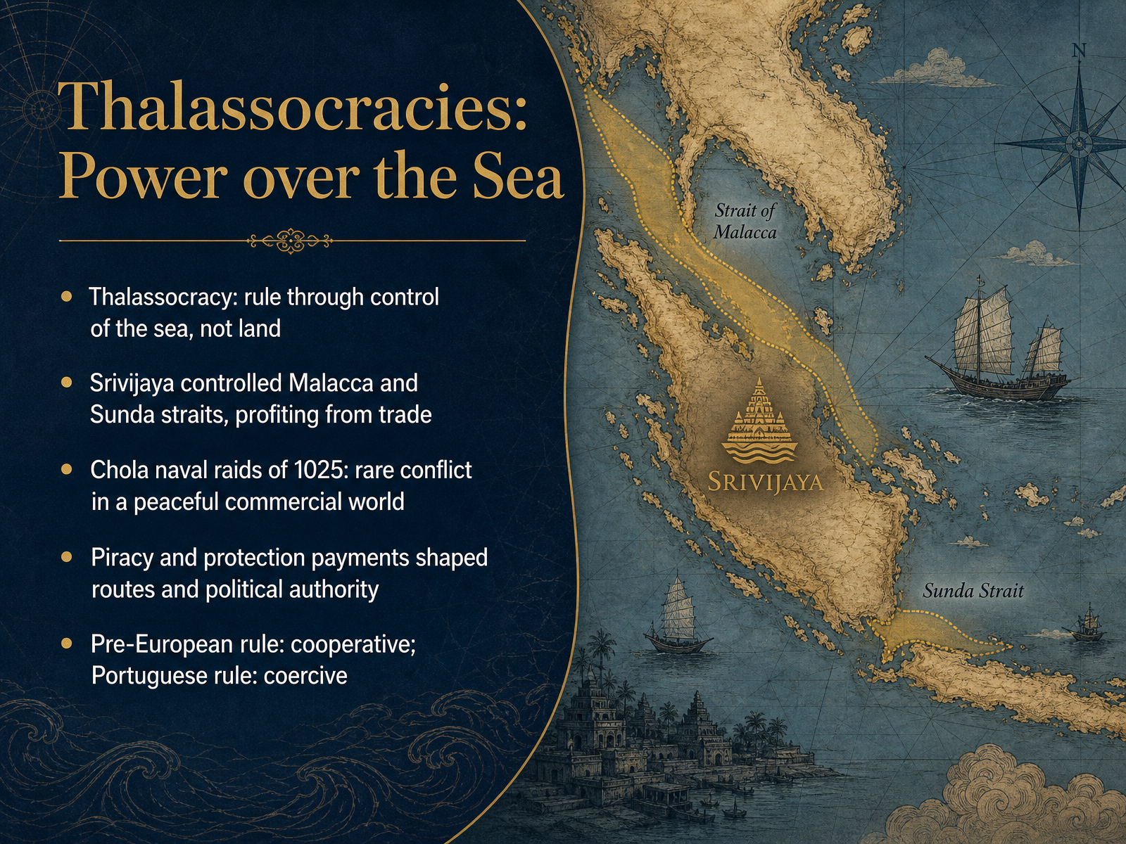
 - 09Thalassocracies: Power over the SeaNow, let's think about how power worked on the water itself. The key concept here is a thalassocracy, which means ruling through control of the sea rather than controlling large areas of land. Take Srivijaya, for example. This kingdom controlled the Strait of Malacca and the Sunda Strait, which were the main shipping channels between the Indian Ocean and China. By controlling these narrow points, Srivijaya could tax passing ships and grow very wealthy. The Chola naval raids of ten twenty-five stand out as a rare major conflict in this world. It happened when the Chola dynasty of southern India attacked Srivijaya and its ports, a campaign that reminds us competition for trade routes could turn violent. Piracy was also a constant reality. Local rulers sometimes offered protection in exchange for payments, and this shaped which routes merchants chose to use. In the pre-European period, this power was often cooperative. Rulers negotiated and shared in the profits of trade. But when the Portuguese arrived, their approach was far more coercive. They demanded ships carry their license, the cartaz, and they used force to enforce their own monopoly. Next, we move to Africa's eastern edge, to the Swahili Coast and its role as a maritime gateway.
 1 min
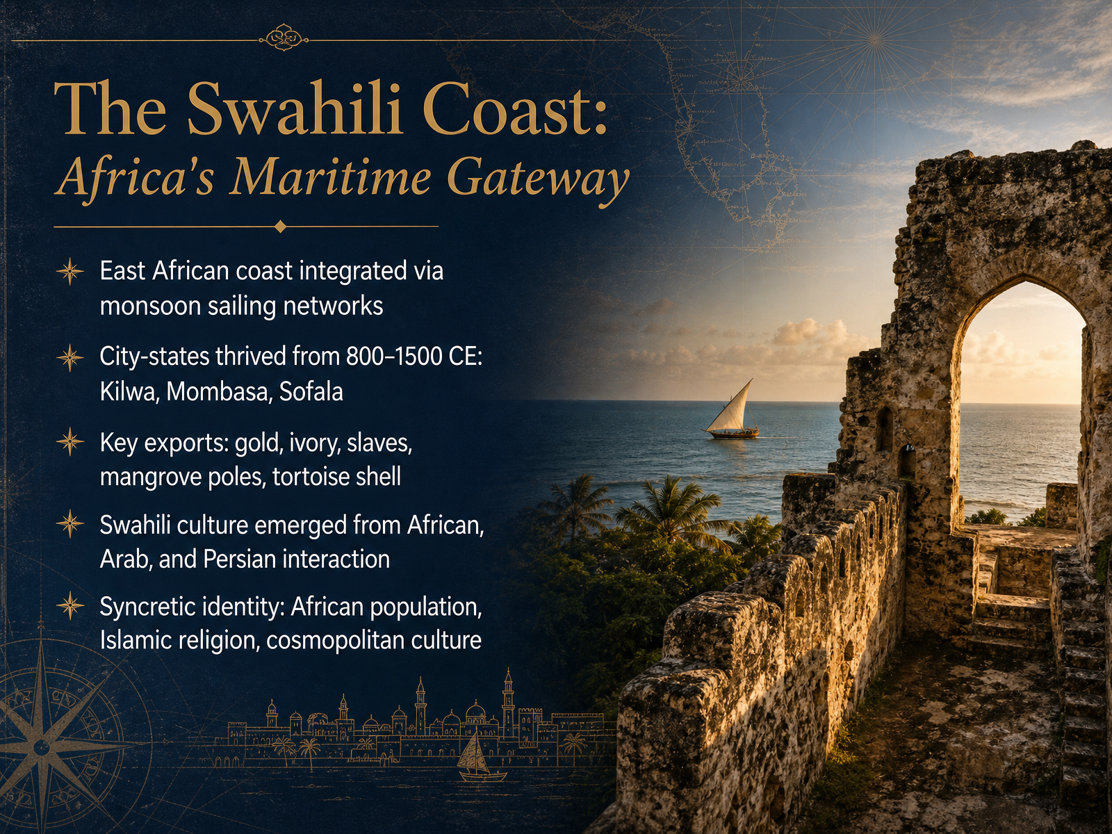
1 min - 10The Swahili Coast: Africa's Maritime GatewayNow let’s turn to the Swahili Coast, a stretch of East African shoreline that became one of the Indian Ocean’s most important maritime gateways. Between roughly the eighth and fifteenth centuries, a string of city-states grew wealthy here, with Kilwa, Mombasa, and Sofala standing out. These cities controlled the flow of goods from the African interior to the wider sea. Arab and Persian merchants already knew how to sail the monsoon winds, and the Swahili city-states plugged directly into those routes. The economic pull was strong. Gold from the Zimbabwean plateau, ivory, slaves, mangrove poles, and tortoise shell all moved through these ports. In return came textiles, ceramics, and glass from across the ocean. What made the Swahili Coast distinctive was its culture. This was not a simple story of outside conquest. African populations, Arab traders, and Persian settlers intermingled for generations. The result was a syncretic identity: a largely African society that adopted Islam, used a Bantu language enriched with Arabic, and created an outward-looking, cosmopolitan way of life. So the Swahili Coast shows us how trade, religion, and language can fuse into something entirely new. Next, we’ll cross the ocean to see a similar process at work in Southeast Asia and the spice trade.
 cambridge.org1 min
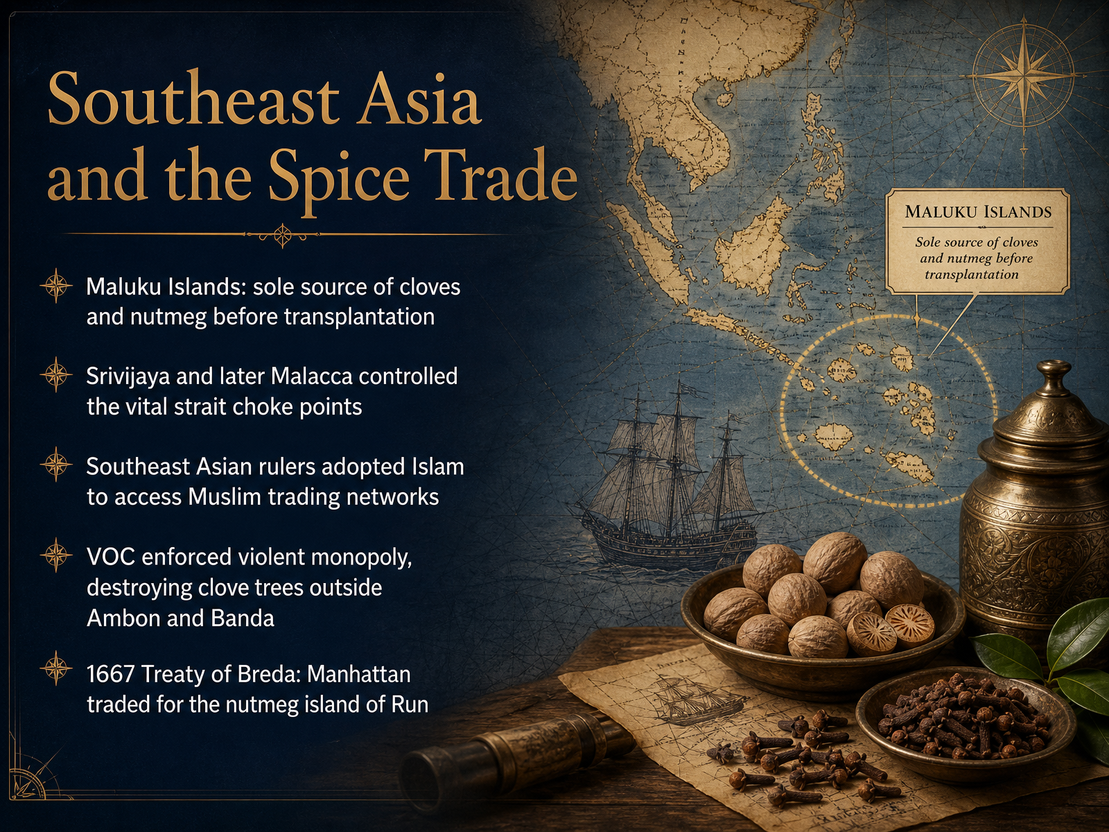
 - 11Southeast Asia and the Spice TradeNow let’s turn to Southeast Asia, where the spice trade shaped empires and drew the first fully global corporations into a violent scramble. Before European transplantation, the Maluku Islands were the only place on earth where cloves and nutmeg grew. That rarity made them worth more than gold. For centuries, regional powers like Srivijaya and later Malacca grew wealthy by controlling the narrow straits that all shipping had to pass through. Think of them as toll gates on a maritime highway. When Islam spread along Indian Ocean trade routes, many Southeast Asian rulers chose to adopt the faith. It was as much a commercial decision as a spiritual one, granting them direct access to Muslim merchant networks. The arrival of the Dutch East India Company, the VOC, changed everything. To build a total monopoly, the VOC destroyed clove trees outside Ambon and Banda and used military force against local populations. The scale of control becomes clear in one striking detail. In the sixteen sixty-seven Treaty of Breda, the Dutch traded the island of Manhattan to the English for Run, a tiny nutmeg island. It was, at that moment, a logical exchange. Next, we will look at European entry and its consequences.
 1 min
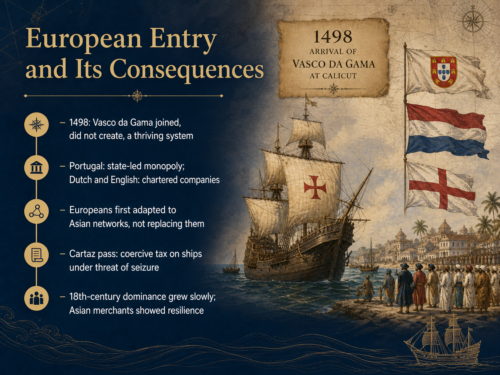
1 min - 12European Entry and Its ConsequencesNow let's think about the European entry, because this was a joining, not a creation. In 1498, Vasco da Gama arrived in a system that had already been moving goods and ideas across the Indian Ocean for centuries. The Portuguese did not build this network. They inserted themselves into it. Portugal operated through a state led monopoly, laying claim to control and tax sea traffic. The Dutch and English later took a different path, using chartered companies that pooled investor money and shared risk. But here is what many miss. The Europeans first had to adapt to Asian networks, not replace them. They learned where the goods were, who controlled the ports, and how business was actually done. The Portuguese cartaz pass shows both ambition and force. Ships had to buy this license to sail, or risk having their cargo seized. It functioned almost like a protection payment. Even so, Europe's dominance grew slowly over the eighteenth century. Asian merchants remained resilient, adjusting to new players and continuing important trade circuits. This leads us to the next step, reassessing the European impact.
 2 min
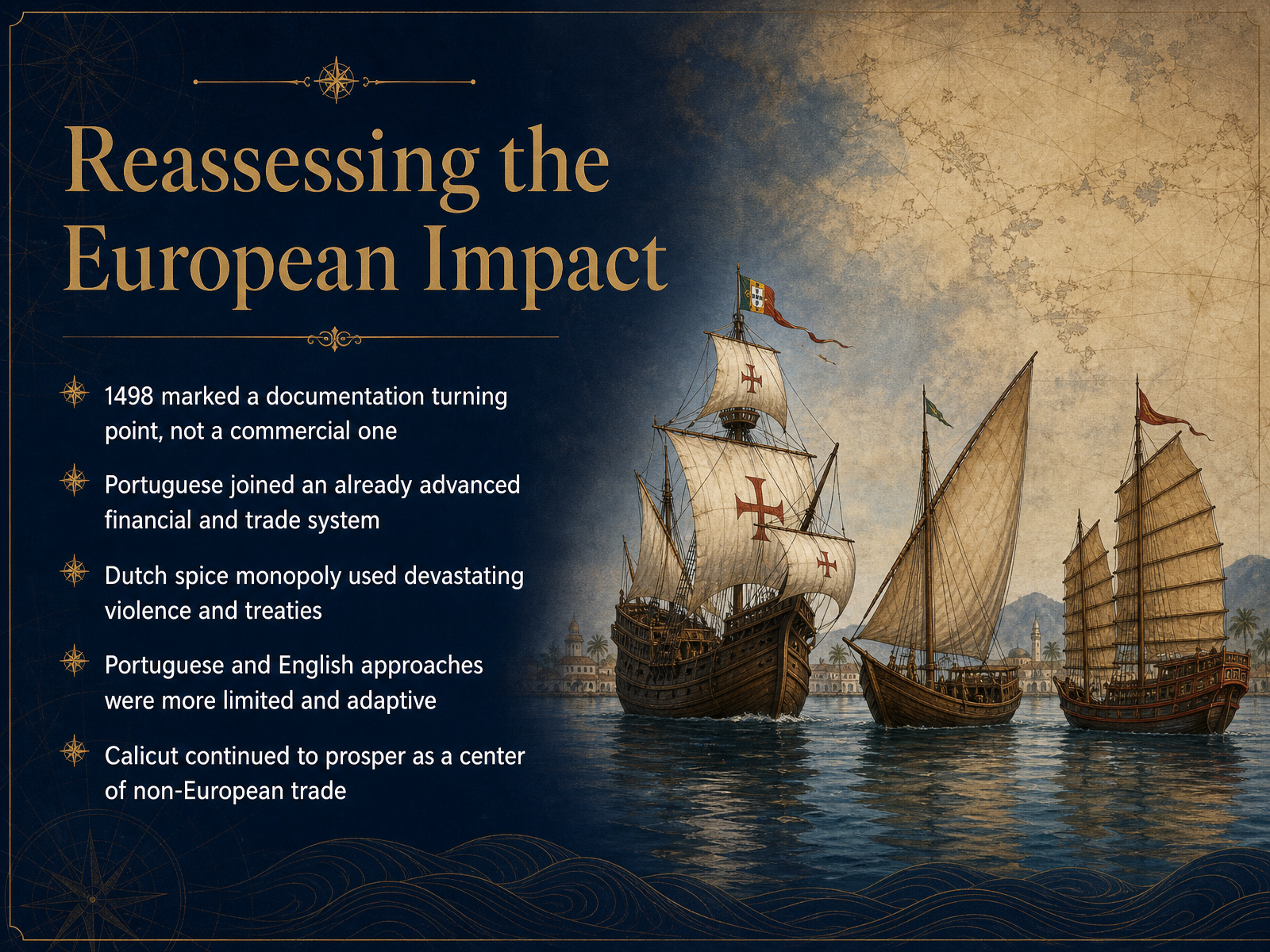
2 min - 13Reassessing the European ImpactNow, let's step back and reassess what European arrival really changed. It is tempting to see 1498, the year Vasco da Gama reached India, as a sudden break. But in commercial terms, that date matters less than we think. The Portuguese did not enter an empty arena. They joined an Indian Ocean economy that already had sophisticated finance, insurance, and trade routes. What they added was not a new system, but a new set of players. The Dutch took a different path. To build a spice monopoly, they combined formal treaties with devastating violence. On the Banda Islands, that meant killing, enslaving, or starving much of the local population. The Portuguese and English approaches were more limited and more adaptive. They often had to negotiate, rent space, and work through local brokers and rulers. Meanwhile, Calicut kept thriving. It remained a center of non-European trade, and in some ways, even expanded as a hub of resistance to European control. So the European impact was real, but it was uneven, and it was never total. That uneven legacy leads us to our final question: what remains of these networks today?
 open.library.ubc.capress-files.anu.edu.aumdpi-res.com+22 min
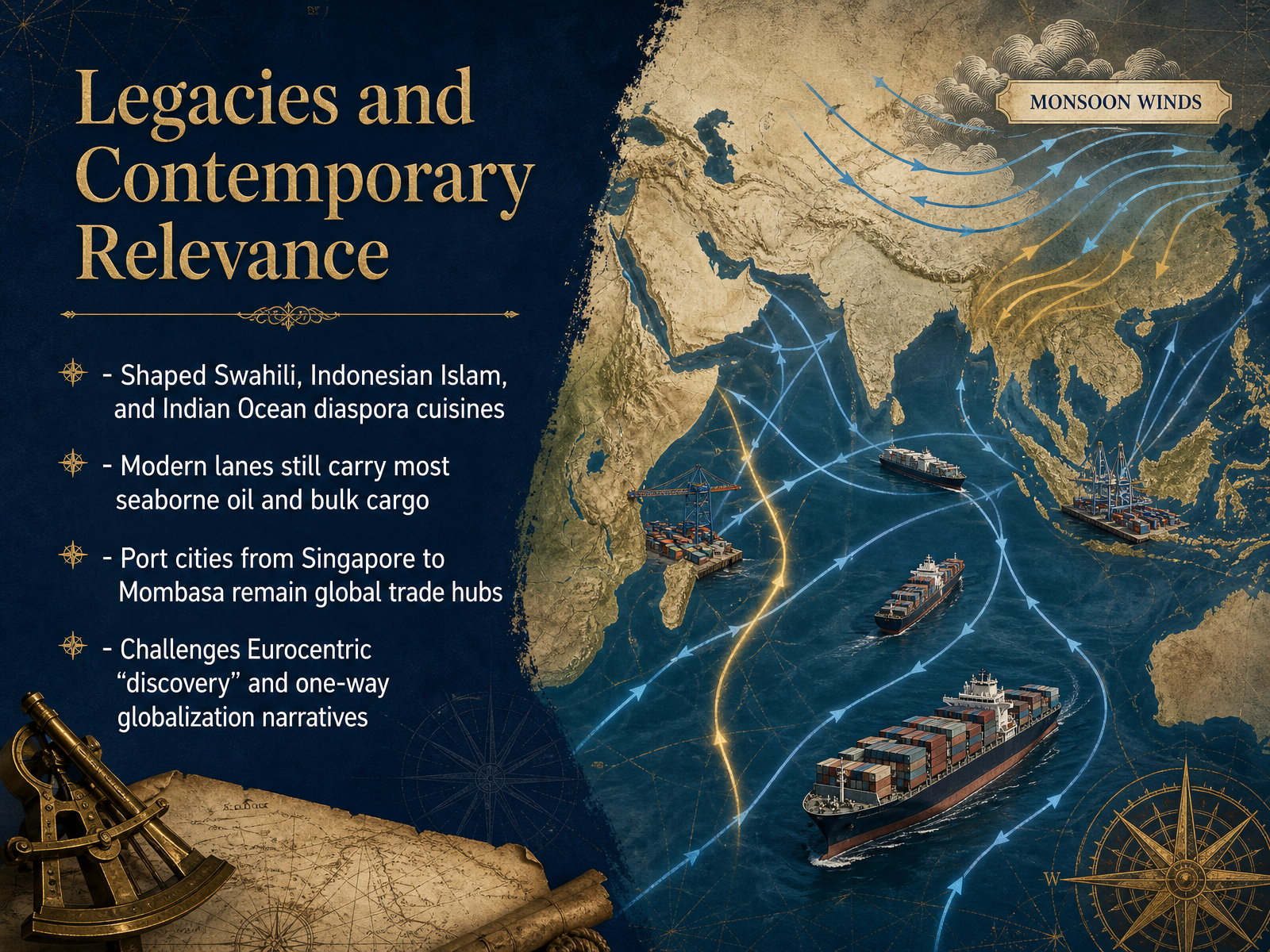
 - 14Legacies and Contemporary RelevanceSo where does that leave us today? The legacies are all around us, even if we do not always see them. The Swahili language grew directly out of those coastal trading encounters. Islam in Indonesia arrived not by conquest, but largely through centuries of patient merchant contact. And the food cultures across the Indian Ocean rim, think of the curries of East Africa or the spice-rich dishes of Southeast Asia, tell stories of exchange on every plate. Look at a map of modern shipping lanes, and you will see the same logic at work. The Indian Ocean still carries a huge share of the world's energy and bulk cargo. Around eighty percent of seaborne oil passes through its waters. Ports like Singapore and Mombasa are not new inventions. They are the latest chapter in a very long book. Perhaps the most important lesson is how this history challenges older stories. The idea of European discovery in fourteen ninety-eight ignores that a fully functioning, highly organized trade network was already there. And the flow of goods and ideas did not move in one direction. It was genuinely global before the word existed. So as you finish this course, I encourage you to carry this perspective with you. Thank you for learning, and keep asking good questions.
 cambridge.orgindianoceanhistory.orgen.wikipedia.org+22 min
Take the deck with you
Download this course as a file — free, no sign-up needed.
- PDF handoutEvery slide page, ready to print or share.15 pages · 6.5 MBDownload
- Narrated PowerPointThe deck that presents itself — every slide carries the digital human's narration video.15 pages · 19.4 MBDownload
- PowerPoint slidesThe full deck as a .pptx — open it in PowerPoint, Keynote, or Google Slides.15 pages · 6.5 MBDownload
Free to use in your own training — please keep the PersonWise credit page at the end.
Have your own deck? Turn it into a course
Sources consulted
Web sources consulted while building this course.
- Trade and Civilisation in the Indian Ocean — cambridge.org
- Indian Ocean in World History — indianoceanhistory.org
- Indian Ocean trade — en.wikipedia.org
- Archaeology of Trade in the Western Indian Ocean, 300 BC–AD 700 | Journal of Archaeological Research | Springer Nature Link — link.springer.com
- Networks and social cohesion in ancient Indian Ocean trade: geography, ethnicity, religion | Journal of Global History | Cambridge Core — cambridge.org
- Dhow Navigator, Historic Indian Ocean Voyages — meikal.github.io
- meikal/dhow-navigator — github.com
- Monsoon Dhows — indian-ocean.africa.si.edu
- Indian Ocean navigation in Islamic sources 850–1560 CE — compass.onlinelibrary.wiley.com
- Junks to Java: Chinese Shipping to the Nanyang in the Second Half of the Eighteenth Century — muse.jhu.edu
- Gujaratis dominated Malaysia trade in 16th century. Cambay & Malacca were interdependent — theprint.in
- Indian Ocean Trade before the European Conquest — worldhistory.org
- Gujarat, Coromandel and Nusantara - Trans-Regional Trade and Traders in the Indian Ocean - Southeast Asian Site Reports — epress.nus.edu.sg
- https://warwick.ac.uk/fac/soc/economics/seminars/seminars/conferences/econchange/programme/prakash_-_venice.pdf — warwick.ac.uk
- Gujeratis - University of New England — researchers.une.edu.au
- Changing perspectives on Indian Ocean cityscapes : the port city of Calicut in the early modern period - UBC Library Open Collections — open.library.ubc.ca
- ‘A once capacious haven’: What happened to Calicut (Malabar coast of India), 1335–1887 — press-files.anu.edu.au
- Hybridity and Ethnic Invisibility of the “Chitty” Heritage Community of Melaka — mdpi-res.com
- Like Banners on the Sea: Muslim Trade Networks and Islamization in Malabar and Maritime Southeast Asia (Chapter 2) - Islamic Connections — cambridge.org
- Calicut in 17th century Indian Ocean trade – IMHA — imha.info