Geography Shapes Trade and Settlement
Begin
14 pages · ~28 min
Geography Shapes Trade and Settlement
This course explores how geographic features influence trade routes, settlement patterns, and economic development in human societies.
What you’ll learn
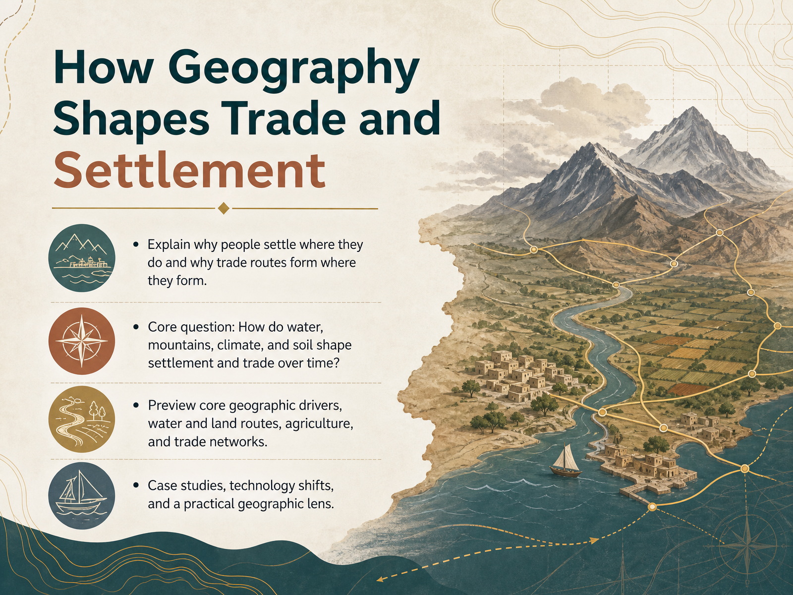
- 01How Geography Shapes Trade and SettlementWelcome to How Geography Shapes Trade and Settlement. In this course, we are going to answer a question that is at the heart of human history. Why do people settle where they do, and why do trade routes form where they form? Think of geography not as a static list of places, but as a living story. Mountains, rivers, and climate are active forces that have quietly shaped every major decision made by our ancestors. We will see how reliable water sources and rich soils allowed the first villages to grow, and why the world’s biggest cities often emerged in drier zones near great flooding rivers. We will also trace the movement of early caravans through deserts and steppes, carrying goods like obsidian and copper, and connecting distant communities long before the word globalization existed. By the end of this training, you will have a practical geographic lens for analyzing any settlement or trade pattern on a map. Let’s begin by building our foundation with the next slide: The Geographic Toolkit: Terms and Maps.nerd.wwnorton.comonlinelibrary.wiley.combritannica.com+22 min
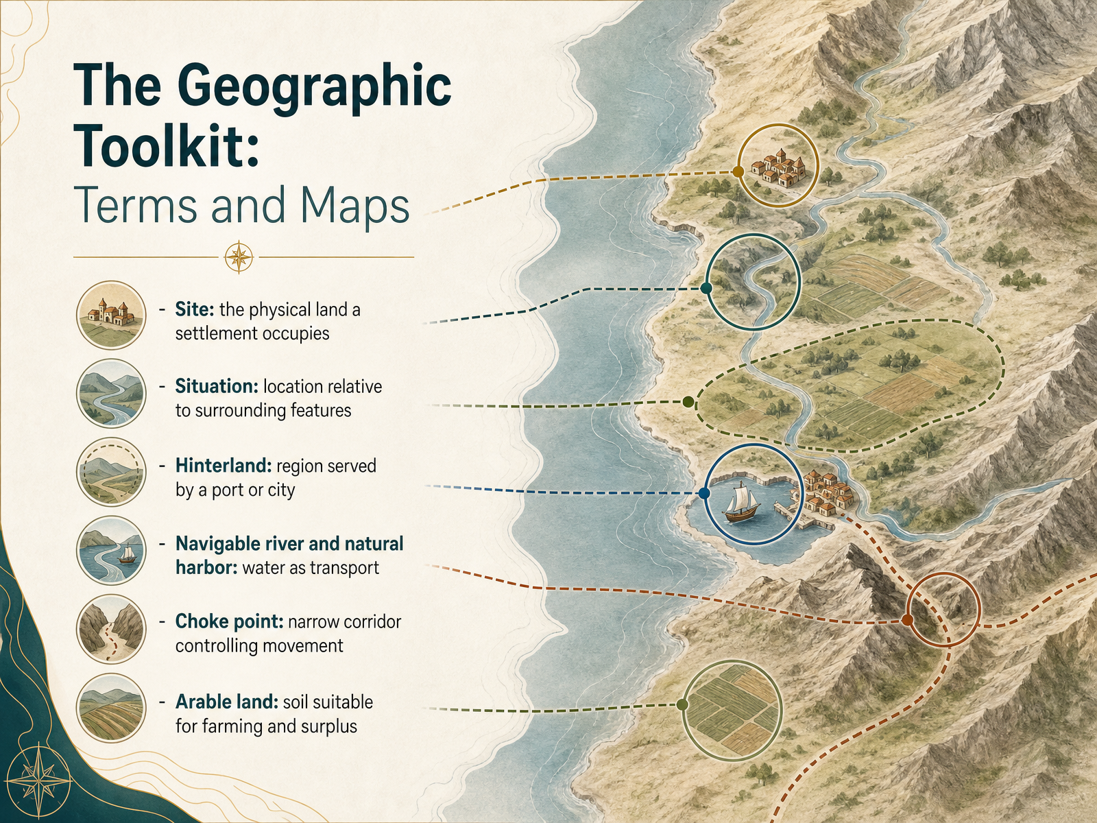
- 02The Geographic Toolkit: Terms and MapsEvery settlement is an answer to a question posed by the landscape. To see how, we need a shared set of tools. Let's start with site, the actual physical land a settlement occupies. Think of high ground for defense, or a dry point site just above a floodplain. Situation is different. It is about location relative to surrounding features, like being near a bridging point on a river or a gap in the hills. Then there is the hinterland, the wider region a city or port serves and draws resources from. Water is often the main character. A navigable river and a natural harbor turn a settlement into a hub, where goods move from water to land. A choke point is a narrow corridor, like a mountain pass or a strait, which controls movement and therefore controls trade. And none of this matters without arable land, soil rich enough to grow a surplus and feed a non-farming population. These terms are our vocabulary for reading the map of human choices. They set the stage for the next layer: how land, water, and terrain work together as core geographic drivers.
 coolgeography.co.ukvirginiaplaces.orgajol.info+22 min
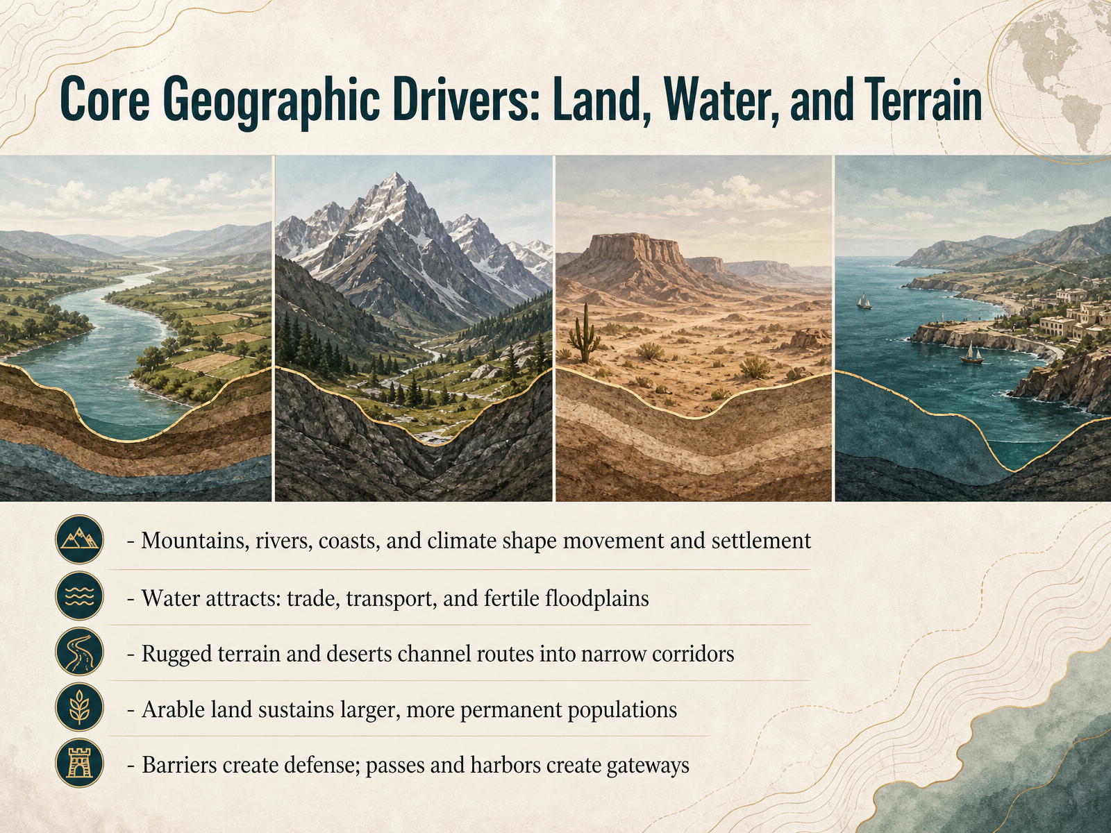
 - 03Core Geographic Drivers: Land, Water, and TerrainTo understand why people settle where they do, we start with something fundamental: the land itself. Think of geography as the hand that guides movement and draws the first roads on a map. Water is often the strongest magnet. Rivers offer drinking water and fertile floodplains, while coasts provide harbors for trade and transport. In contrast, rugged mountains and vast deserts are not dead ends. Instead, they funnel movement into narrow corridors and mountain passes. Flat, arable land is another key driver. Rich soil supports larger, more permanent populations because it can feed more people. Finally, don't overlook the power of defense. A mountain barrier can protect a community, while a good pass or harbor becomes a gateway for commerce and new ideas. These features rarely work alone. They compete and combine to shape the patterns we will explore next, starting with water as both a highway and a barrier.
 coolgeography.co.ukvirginiaplaces.orgajol.info+22 min
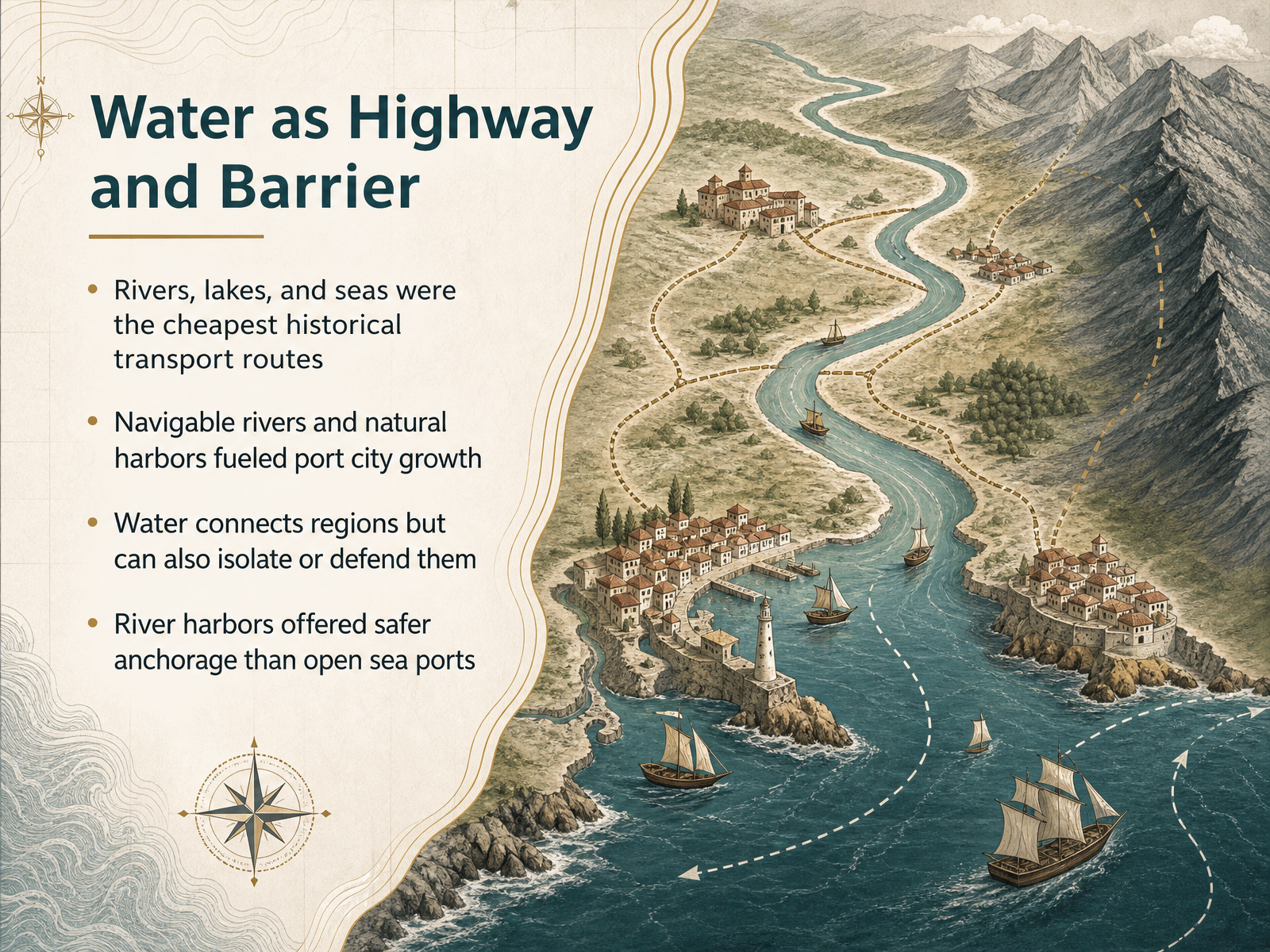
 - 04Water as Highway and BarrierNow, let's consider water itself. From the very beginning, rivers, lakes, and seas were the cheapest highways available. Moving goods by boat required far less energy than hauling them overland. A single small river craft could carry the load of many pack animals, which is one reason why port cities grew so quickly where navigable rivers met natural harbors. These locations acted as gateways between the interior and the wider world. But water could also divide. A wide river or a rough sea could isolate a community, or even serve as a defensive moat. Think of how estuaries and river mouths offered safer anchorage than open sea ports, shielding early ships from wind and waves. Geography was constantly trading roles: water as a connector, water as a wall. Up next, we shift from water to land, to see how mountains, deserts, and narrow choke points shaped movement in a very different way.
 cambridge.orghks.harvard.eduhdl.handle.net+21 min
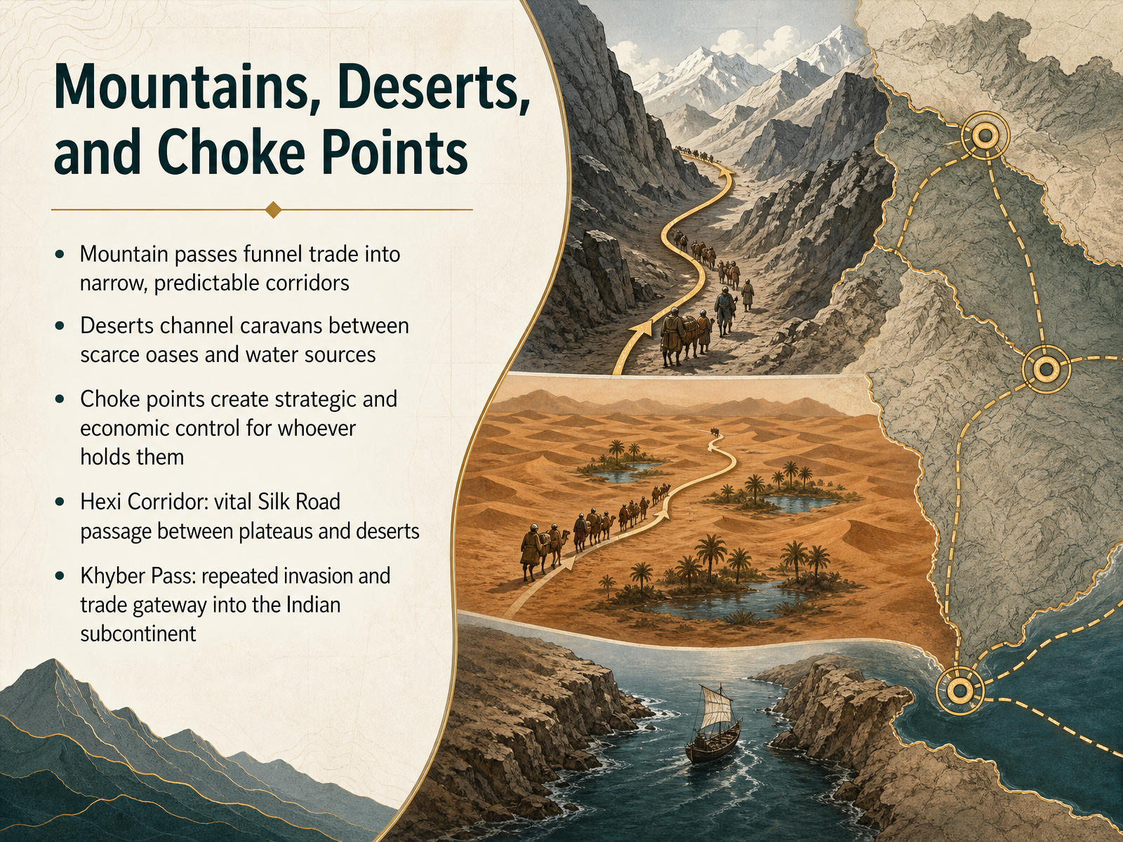
 - 05Mountains, Deserts, and Choke PointsNow let us look at how mountains, deserts, and choke points turn geography into a kind of gatekeeper. Mountain passes like the Khyber Pass funneled trade and invasion into narrow, predictable corridors linking Central Asia and the Indian subcontinent. Deserts channeled caravans between scarce oases and water sources, because straying from those lifelines was simply too dangerous. Where routes narrowed, choke points emerged, and whoever controlled them controlled movement, wealth, and military access. Consider the Hexi Corridor, a relatively arable strip squeezed between the Tibetan Plateau and the Gobi Desert. For centuries it served as the vital Silk Road passage connecting China proper to Central Asia. Garrison towns and watchtowers guarded the route, while oases supplied travelers and tax collectors. The pattern is remarkably consistent: geography creates a limited number of usable paths, and settlements, forts, and markets grow along those paths like beads on a string. Next, we will step from these corridors of movement to the Agricultural Roots of Settlement, where rivers and soil begin to anchor communities in place.
 en.wikipedia.orgen.wikipedia.orgwhc.unesco.org+22 min
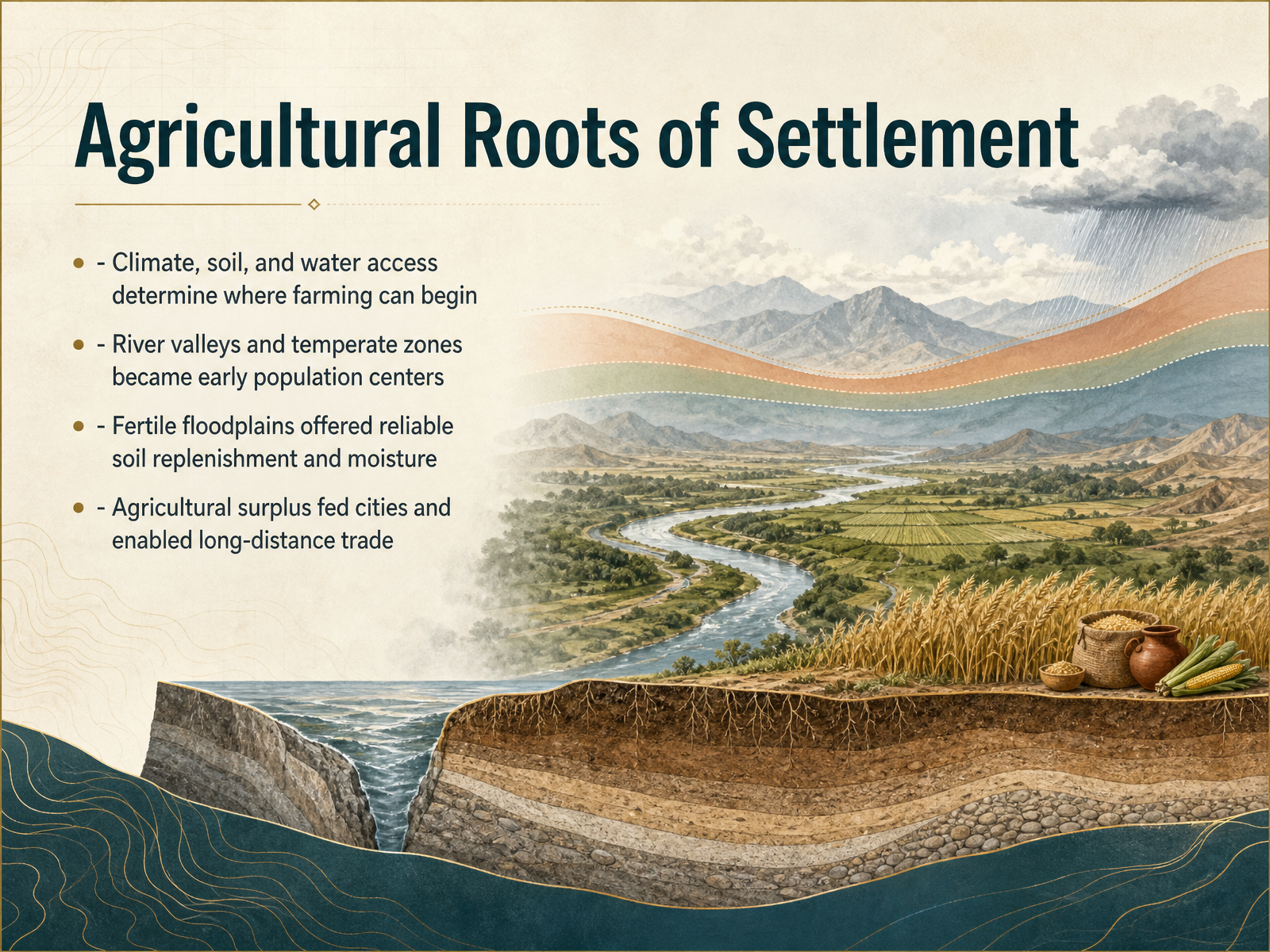
 - 06Agricultural Roots of SettlementSo why did the first farmers settle where they did? The answer usually comes down to three practical things: climate, soil, and access to water. Early agriculture needed a reliable growing season, so temperate zones were more forgiving than deserts or dense forests. River valleys offered the best of all three. Every year, seasonal floods spread fresh silt across the floodplain. That silt kept the soil fertile without farmers having to move constantly. The river also supplied steady moisture, which reduced the risk of drought. Because of this, places like the Nile, the Tigris-Euphrates, and the Indus became early population centers. Over time, those reliable harvests produced more food than a family could eat. That surplus changed everything. It allowed some people to become potters, weavers, builders, and traders. Cities could grow, and the extra food could be transported along the river itself. So agriculture did not just feed villages. It created the foundation for larger societies and long-distance trade. Next, we will look at how these advantages played out in the early river valley systems.
 nature.com1 min
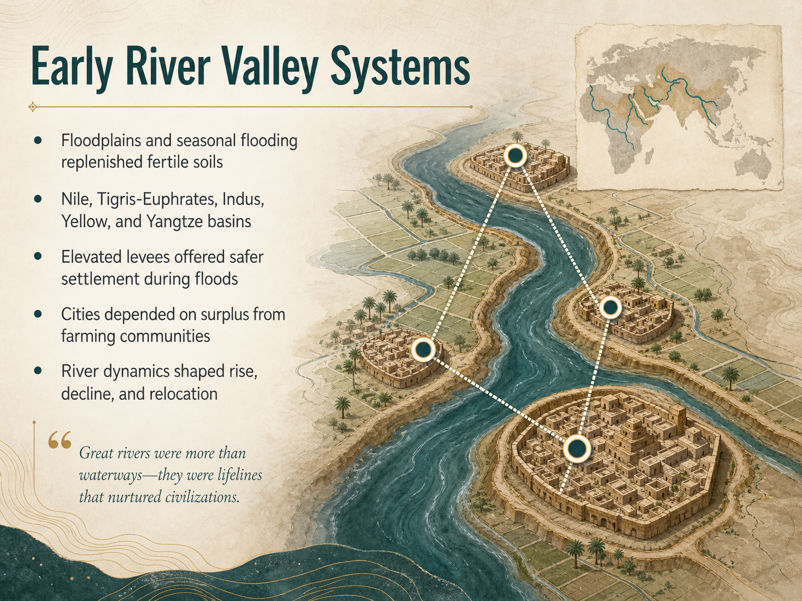
 - 07Early River Valley SystemsNow let's step back and look at the big pattern behind early settlement. Across the world, the first complex societies clustered around a handful of great river systems. Think of the Nile, the Tigris and Euphrates, the Indus, and the Yellow and Yangtze. Why these places? Because seasonal flooding created something extraordinary. Each year, rivers spilled over their banks, deposited fresh silt, and renewed the soil. That natural rhythm turned floodplains into reliable food factories. But the rivers also created a problem. Those same floods could destroy homes and fields. So people learned to read the landscape carefully. Slightly elevated levees became preferred building sites. They were close enough to benefit from water and fertile soil, yet high enough to escape most inundation. Over time, farming villages produced more than they needed. That surplus allowed some people to specialize, as potters, priests, or traders, and cities began to grow. But this was not a simple story of steady progress. Rivers shifted course, floods grew worse, and drought could weaken a region. Some settlements declined, while others relocated to safer ground. So the river was never just a backdrop. It was an active partner in shaping where people lived, and where civilization could rise and fall. Next, we’ll follow these settlements as they grew outward into something larger: from settlement to trade network.
 nature.com2 min
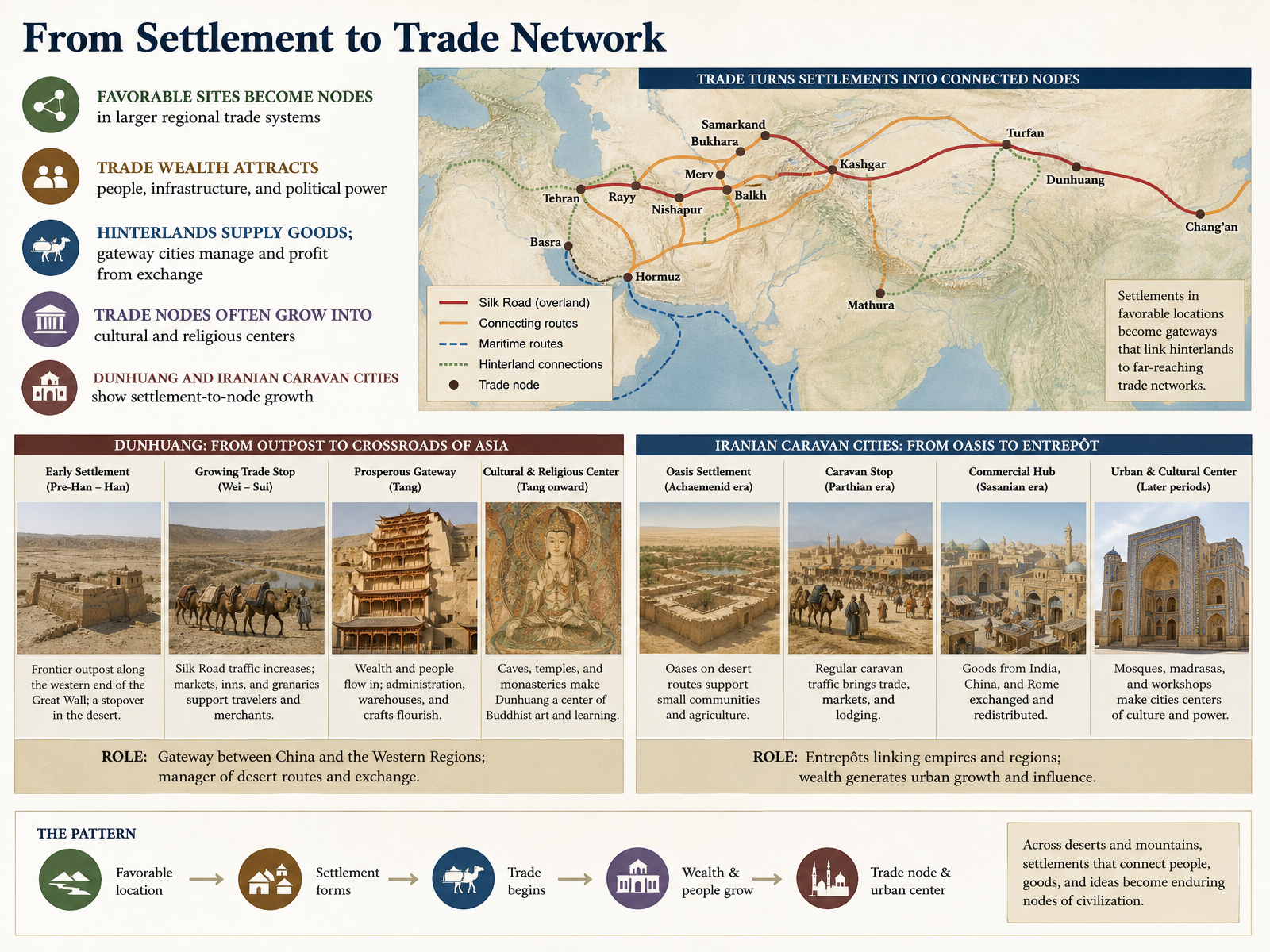
 - 08From Settlement to Trade NetworkNow, let's think about how a single settlement becomes part of a much larger story. When a place has the right geography for trade, it stops being just a stopover. It becomes a node, a point in a wider regional network. Trade wealth does something powerful. It attracts people, investment in roads and ports, and increasingly, political control. Think of the hinterlands, the surrounding farmlands and forests. They supply the raw goods. But the gateway city itself manages the exchange, and that is where the profit concentrates. With wealth and constant contact between travelers, these trade nodes often transform into cultural and religious centers. Look at Dunhuang in China, or the caravan cities of Iran. They began as strategic resting points, and then grew into places where ideas, art, and faith were exchanged as readily as silk or spices. This shift from local settlement to regional hub is the moment geography starts writing a much bigger history. Next, we will look at these caravan cities more closely, and see how they became the regional gateways of their time.
 1 min
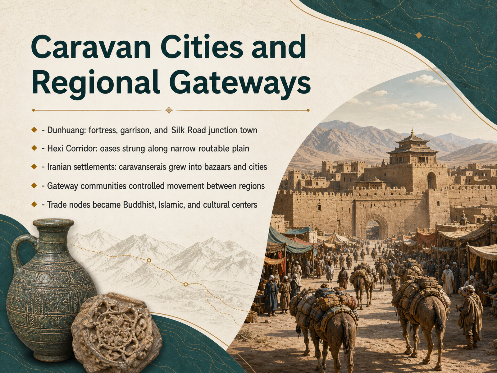
1 min - 09Caravan Cities and Regional GatewaysNow let’s zoom in on the places where geography and long-distance trade came together to create permanent gateway cities. Take Dunhuang, for instance. It was not just a town; it was a fortress, a garrison, and the critical junction where the northern and southern routes around the Taklamakan Desert converged. Its location made it one of the first trading cities merchants reached when arriving in China from the west. The same logic shaped the Hexi Corridor. This narrow, relatively arable plain sits between harsh plateaus and deserts, and its oases were strung along the route like beads on a string. Because water and food were only available at those oases, travelers had no choice but to stop there, and those stops grew into permanent settlements. Farther west, in the Iranian world, caravanserais—originally fortified resting places—often became the nucleus of bazaars and then full cities. These gateway communities did more than tax or service caravans; they controlled movement between regions. And precisely because people from different cultures met there, many trade nodes also became religious and cultural centers, spreading Buddhist and Islamic ideas along the very same roads that carried silk and spices. This pattern of geography creating a gateway, and a gateway creating a city, helps us understand the next chapter, when maritime chokepoints began to play a similar role.
 en.wikipedia.orgen.wikipedia.orgwhc.unesco.org+22 min
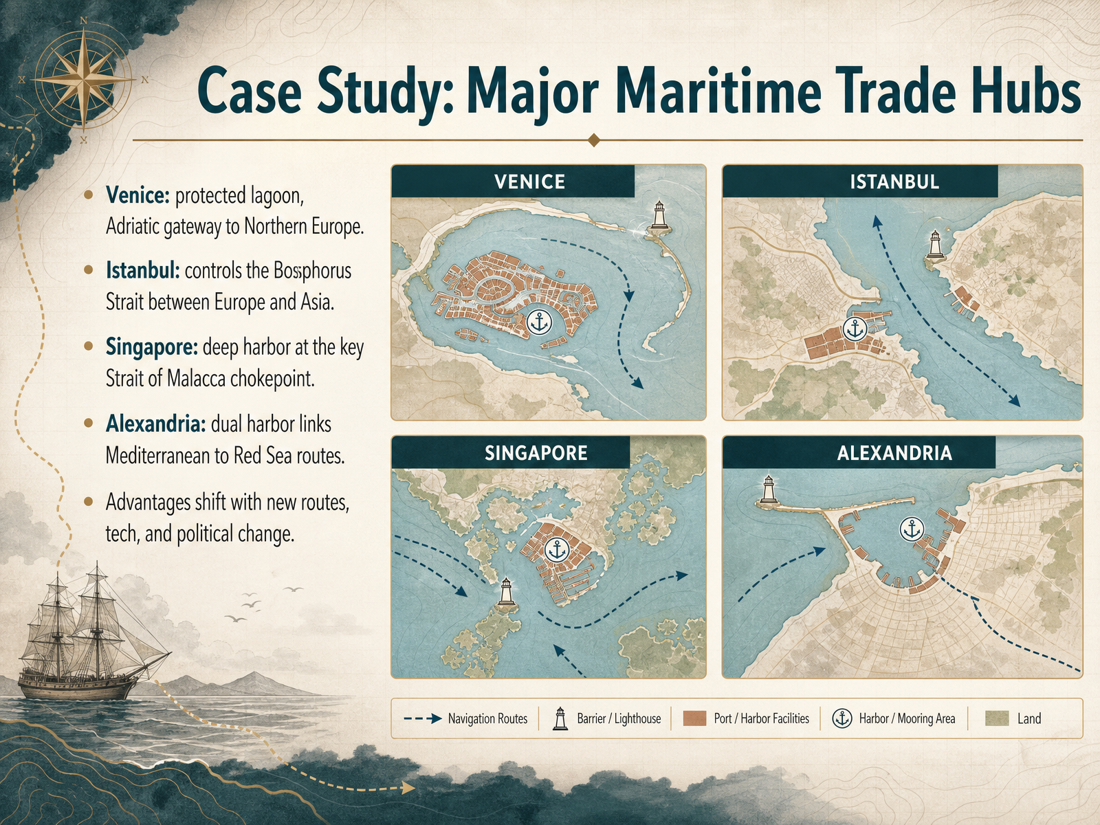
 - 10Case Study: Major Maritime Trade HubsNow let's compare four maritime trade hubs and the geographic logic behind each one. Venice emerged from a protected lagoon at the top of the Adriatic Sea, where Alpine passes connected Mediterranean shipping to Northern Europe. Istanbul sits directly on the Bosphorus Strait, the only sea route between the Black Sea and the Mediterranean, which made it a strategic chokepoint between Europe and Asia. Singapore grew at the tip of the Malay Peninsula, flanked by the Pacific and Indian Oceans. Its deep harbor and sheltered anchorage helped it dominate the Strait of Malacca. Alexandria served as a dual-harbor city, linking Mediterranean ports to Red Sea routes and the Nile Valley. Each of these hubs prospered because ships had to pass through, or could conveniently stop at, a narrow geographic gate. But these advantages were never permanent. New routes, new technology, and political change could redirect trade and weaken even the best-positioned port. So geography sets the stage, but human choices decide which actors stay on it. Next, we turn to a different kind of system: a river valley settlement pattern shaped by inland waterways rather than ocean coastlines.
 2 min
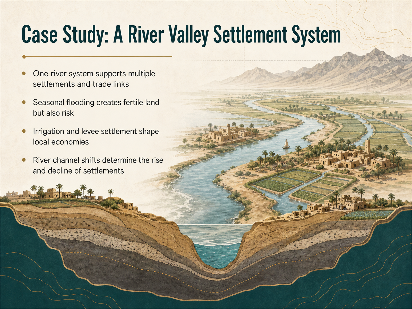
2 min - 11Case Study: A River Valley Settlement SystemLet’s zoom into a single river valley to see these forces working together. Picture one river system supporting a chain of settlements and trade links. The river is not just a water source; it is the main highway that connects each community to the next. Seasonal flooding is the great trade-off here. It deposits rich silt that makes the land fertile, but it also threatens homes and harvests. To manage this balance, people build irrigation channels and levees. These structures stabilize farming and shape the local economy, often concentrating power in the hands of those who control the water. But there is a less visible risk. Over centuries, the river channel can shift course. When it moves, the advantage moves with it. Settlements that once thrived on the riverbank may find themselves stranded, while others rise in their place. So the geography of a valley is never truly fixed. It is a slow negotiation between human effort and the river’s own path. In the next part, we’ll look at how new technology changes that negotiation, sometimes tipping the balance in unexpected ways.
 1 min
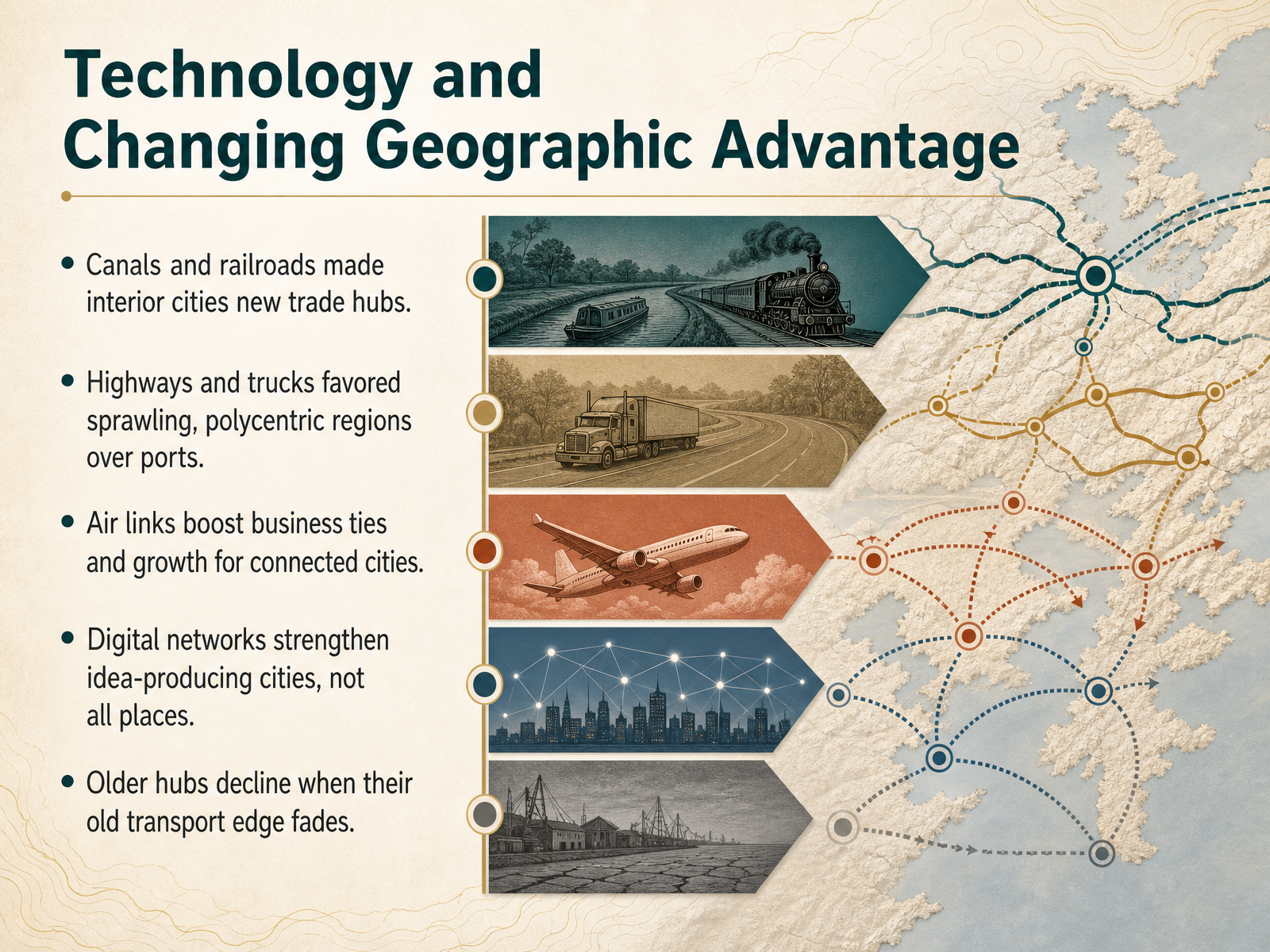
1 min - 12Technology and Changing Geographic AdvantageSo geography never really loses its power. It just changes where that power sits. Think about what happened when canals and railroads arrived. Suddenly, cities far from the coast could become trade hubs, because human engineering carved new paths where rivers and oceans never reached. Later, highways and trucks loosened things even more. Instead of clustering around a single port or rail yard, regions sprawled outward into polycentric webs. Goods could move flexibly, and with them, people and jobs. Then air travel added another layer. Cities with strong airport connections began to pull in business ties and growth, not because they were near a harbor, but because they were hours from other decision makers around the world. Now digital networks sharpen that story. The internet does not lift every place equally. It rewards idea-producing cities, where knowledge workers cluster and collaborate, while leaving behind places whose only advantage was moving things cheaply. When the old transport edge fades and nothing new replaces it, older hubs can quietly decline. So the question shifts. Geography is no longer only about mountains, rivers, and coastlines. It is also about bandwidth, flight paths, and the human networks that form around them. Up next, we will look more closely at who wins and who loses in this changing map, in the rise and fall of connected places.
 2 min
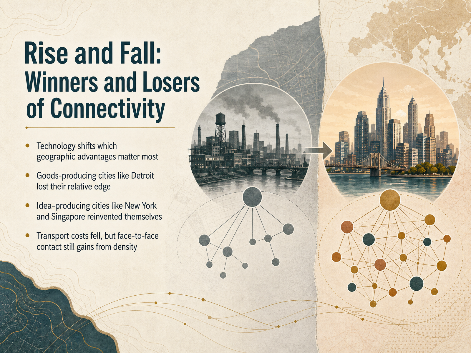
2 min - 13Rise and Fall: Winners and Losers of ConnectivityNow we can see how connectivity creates winners and losers as technology shifts. Each era rewards different geographic advantages. Think about Detroit. Its rise depended on moving heavy goods cheaply, first by water and then by rail. When transport costs fell and production could spread out, that old edge mattered much less. New York also lost manufacturing, but it reinvented itself around finance, ideas, and services. Singapore is another clear example. Its deepwater port still matters, yet its real strength now comes from being a global hub for people and knowledge. Even as moving goods became cheaper, face-to-face contact kept gaining value. Physical proximity still speeds up trust, learning, and complex decisions. That is why dense idea-producing cities stay competitive even in a digital age. So geography does not disappear. It changes shape. The next slide shows how we can use this geographic lens to read today's world.
 1 min
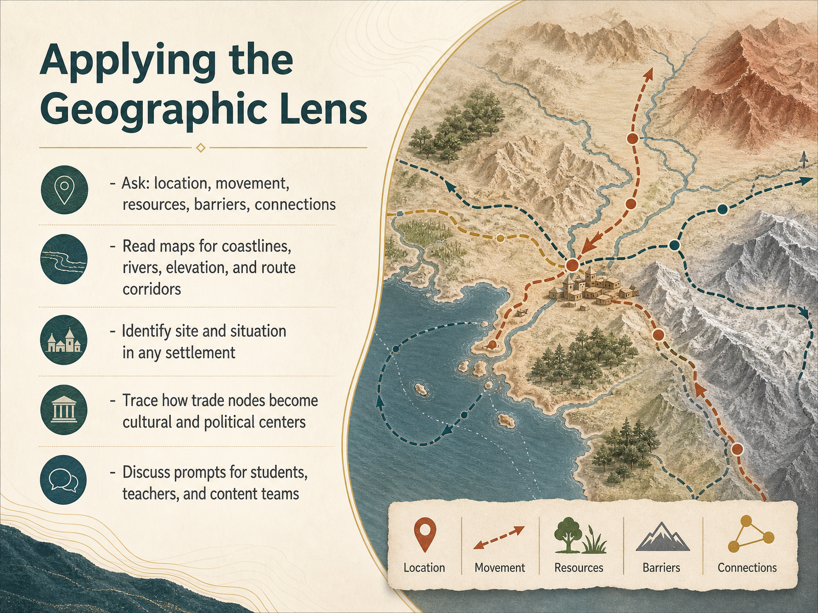
1 min - 14Applying the Geographic LensLet's close by putting this geographic lens into practice. When you look at any settlement or trade route, start with five questions: location, movement, resources, barriers, and connections. Read the map first. Look for coastlines, rivers, elevation changes, and the corridors where movement would naturally flow. Then identify the site and situation of a place. The site is the ground it sits on, and the situation is what surrounds it. Compare a bridging point on a river with a port on a natural harbor. Trace what happens when a trade node persists. A stopping point becomes a warehouse town, then a market center, and over time a cultural and political capital. For students, use this lens to compare maps. For teachers, turn the questions into classroom prompts. For content teams, apply them when interpreting historical places or regional stories. Geography is not just the stage. It is an active force that keeps shaping where people gather, trade, and build. Thank you for exploring this with us, and carry this lens into the next map you read.
 coolgeography.co.ukvirginiaplaces.orgajol.info+21 min
Take the deck with you
Download this course as a file — free, no sign-up needed.
- PDF handoutEvery slide page, ready to print or share.15 pages · 6.3 MBDownload
- Narrated PowerPointThe deck that presents itself — every slide carries the digital human's narration video.15 pages · 18.0 MBDownload
- PowerPoint slidesThe full deck as a .pptx — open it in PowerPoint, Keynote, or Google Slides.15 pages · 6.2 MBDownload
Free to use in your own training — please keep the PersonWise credit page at the end.
Have your own deck? Turn it into a course
Sources consulted
Web sources consulted while building this course.
- Settlement, Pastoralism, and Trade — nerd.wwnorton.com
- International Encyclopedia of Geography: People, the Earth, Environment and Technology — onlinelibrary.wiley.com
- Geography - Human, Population, Landscape | Britannica — britannica.com
- A review of trade geography research: Theoretical foundations, spatial patterns, and frontier dynamics — jstage.jst.go.jp
- Geography Standard 12 — education.nationalgeographic.org
- Factors affecting the location of Settlements — coolgeography.co.uk
- How the Fall Line Shaped Colonial Settlement in Virginia — virginiaplaces.org
- Water bodies and the development of societies and trade networks in the lower Niger region since prehistoric time: History and lessons for economic development | Zaria Historical Journal — ajol.info
- Topography, borders, and trade across Europe — ideas.repec.org
- Geography and Its Impact on Colonial Life | Classroom Materials at the Library of Congress | Library of Congress — loc.gov
- Ports of Trade in Early Societies — cambridge.org
- CID Working Paper No. 024 :: Climate, Water Navigability, and Economic Development by Andrew D. Mellinger, Jeffrey D. Sachs, and John L. Gallup, Center for International Development at Harvard University — hks.harvard.edu
- Harbor settlement patterns of the second millennium BC in Cilicia and the Amuq — hdl.handle.net
- On the Banks of the Tiber: Opportunity and Transformation in Early Rome | The Journal of Roman Studies | Cambridge Core — cambridge.org
- Hexi Corridor — en.wikipedia.org
- Khyber Pass — en.wikipedia.org
- Silk Roads: Zarafshan-Karakum Corridor - UNESCO World Heritage Centre — whc.unesco.org
- Karakoram Pass — en.wikipedia.org
- Historical Trade Routes of the Sogdians | The Sogdians — sogdians.si.edu
- Environmental constraints and diffusion shaped the global transition to food production | Scientific Reports — nature.com