Geography
9 courses·EN
Connect places, environments, settlement, and the movement of people and goods.
Use geographic context to understand a pattern rather than memorizing locations alone. World History and Earth Science provide related human and physical perspectives.
A route through the topic
Start with the introductory explanation below, then choose a focused lesson for the task or question you want to explore.
Courses in this topic
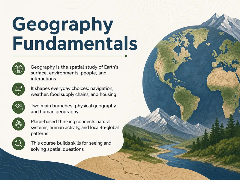
Geography Fundamentals
This training provides participants with a foundational understanding of geography, covering essential concepts, spatial thinking, and tools used to analyze the world.
14 slides·28 min
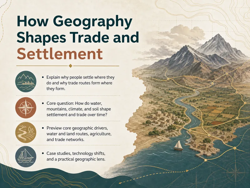
Geography Shapes Trade and Settlement
This course explores how geographic features influence trade routes, settlement patterns, and economic development in human societies.
14 slides·28 min
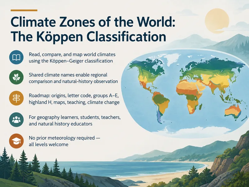
Köppen Climate Zones of the World
This training introduces the Köppen climate classification system, helping learners identify and interpret global climate zones. Ideal for students and professionals in geography, ecology, and environmental science.
14 slides·28 min
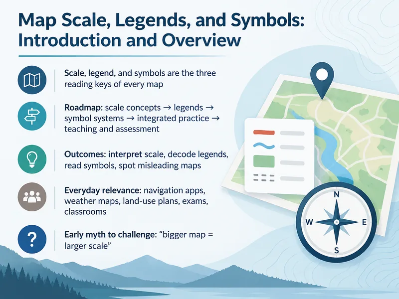
Map Scale, Legends, and Symbols
This training teaches learners to read and interpret map scales, legends, and symbols accurately, building essential map literacy skills for navigation and geographic analysis.
14 slides·28 min
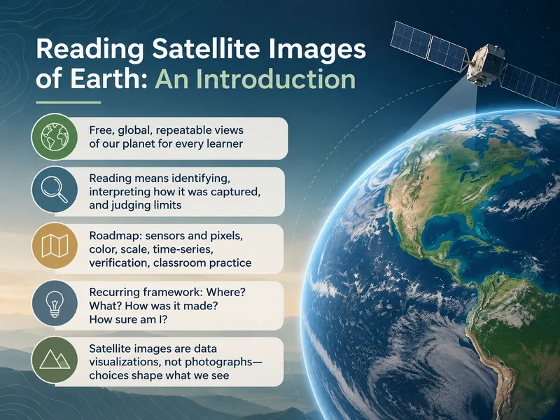
Satellite Image Interpretation
Learn to interpret satellite images of Earth in this training designed for remote sensing beginners, covering key techniques for analyzing imagery.
14 slides·28 min
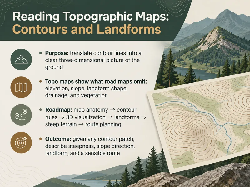
Reading Topographic Maps: Contours and Landforms
This training teaches participants to read topographic maps, interpret contour lines, and identify landforms—ideal for hikers, outdoor enthusiasts, and GIS learners building foundational map skills.
14 slides·28 min
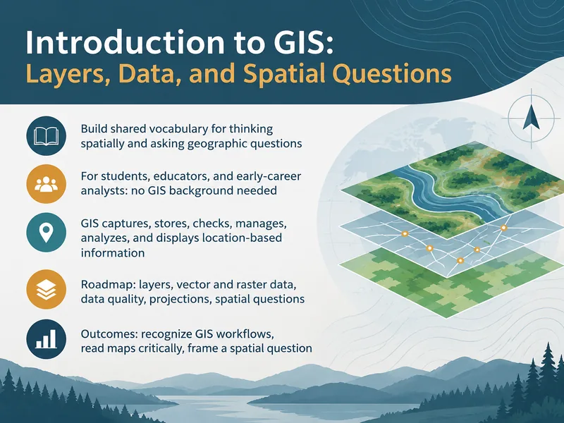
Introduction to GIS: Layers and Spatial Questions
This introductory GIS training teaches learners to work with layers and spatial data and to ask and answer spatial questions. It is designed for beginners new to GIS concepts.
14 slides·28 min
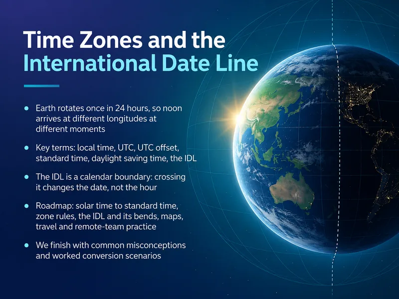
Time Zones and the International Date Line
This training explains how time zones and the International Date Line work, helping global teams schedule across regions and avoid date and time confusion.
14 slides·28 min
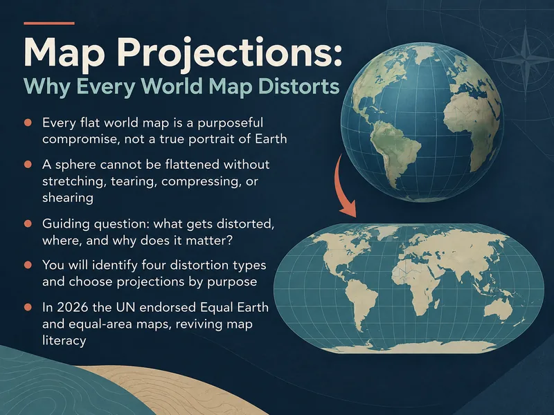
Map Projections and World Map Distortion
This training explains why all world maps distort reality and helps learners understand the trade-offs behind common map projections.
14 slides·28 min