Geography Fundamentals
Begin
14 pages · ~28 min
Geography Fundamentals
This training provides participants with a foundational understanding of geography, covering essential concepts, spatial thinking, and tools used to analyze the world.
What you’ll learn
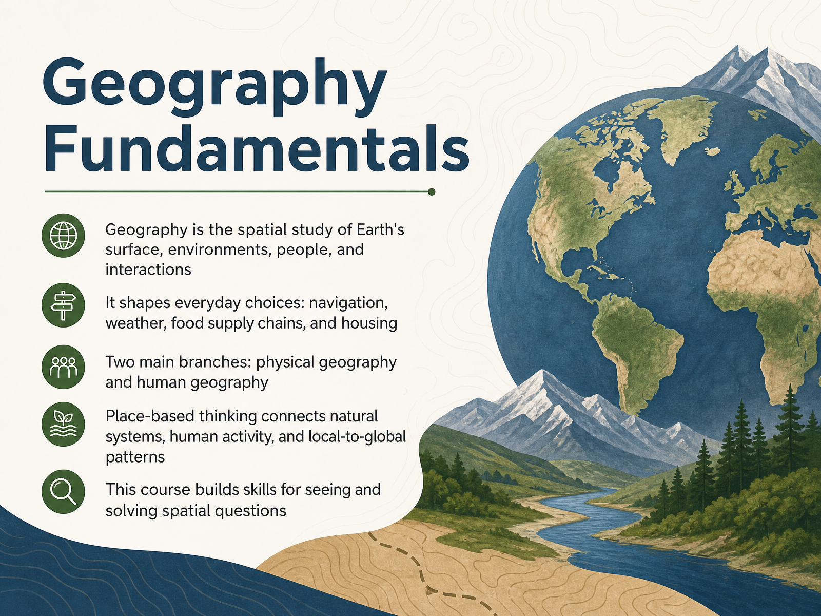
- 01Geography FundamentalsWelcome to Geography Fundamentals. I am glad you are here. In this course, we are going to explore something you already practice every single day, often without even realizing it. Geography is more than just memorizing capitals or reading maps. It is the spatial study of Earth's surface, its environments, its people, and the constant interactions between them. Think about it: the route you took here, the food you ate for breakfast, even the way your community is laid out. All of these are shaped by geography. To make sense of this vast field, we organize it into two main branches. Physical geography looks at natural systems like climate and landforms. Human geography examines people, cultures, and how we organize our societies. But the true magic happens when we synthesize these. When we use place-based thinking, we start to see how natural systems and human activity connect, linking local decisions to global patterns. This is not just an abstract idea. It is a skill set. By the end of this course, you will have the tools to see the world differently and to ask the fundamental question of our discipline: why is this happening here? Let's begin by looking at why geography matters in our daily lives.blog.education.nationalgeographic.orggisetc.comurbanistdispatch.com+22 min
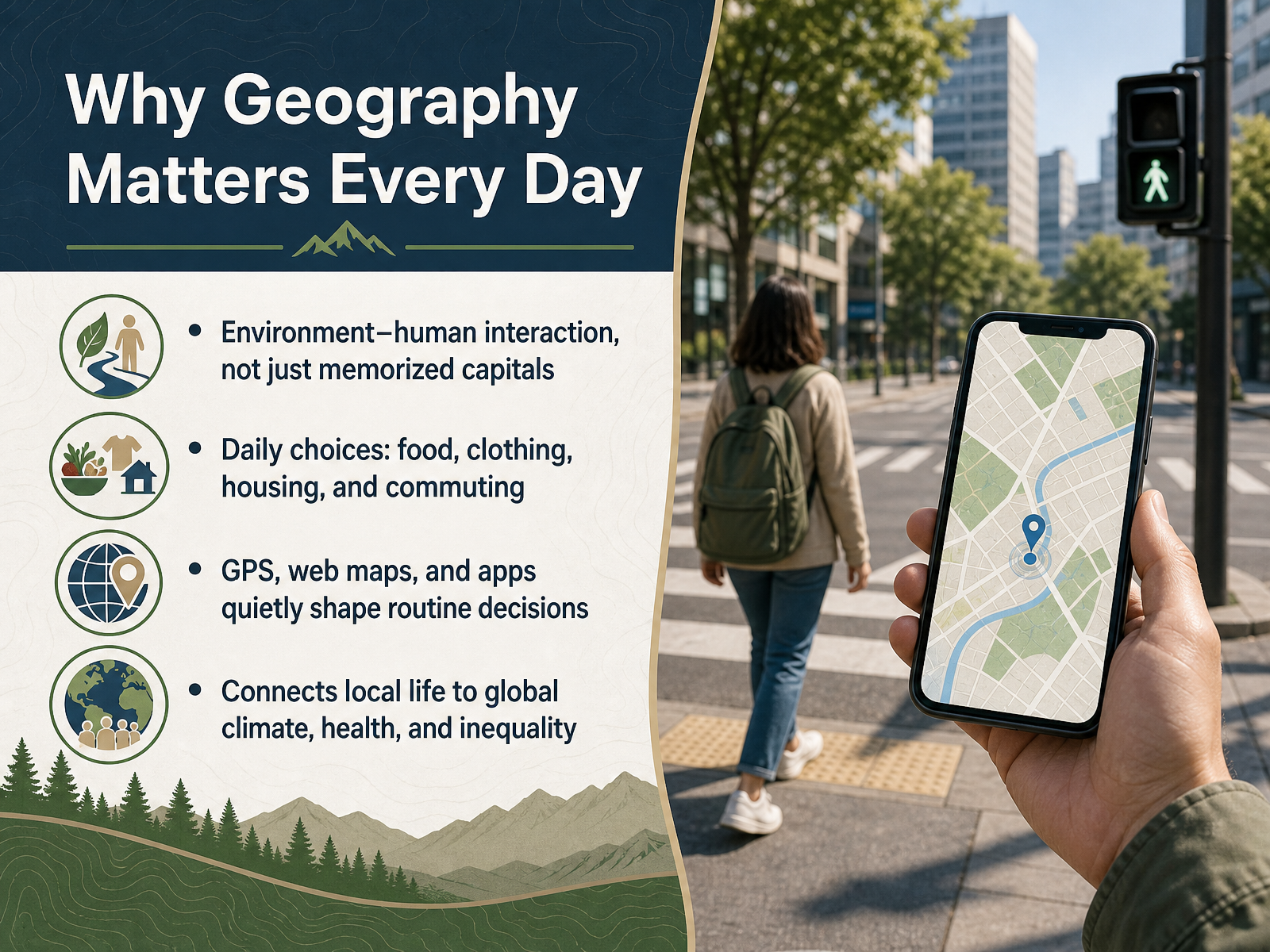
- 02Why Geography Matters Every DayNow let's look at why geography matters in our daily lives. Perhaps the simplest way to think about geography is not as memorized capitals, but as the interaction between people and their environment. Every day you make choices shaped by geography. The food you eat likely traveled from farms in other regions or countries. The clothes you wear might have been manufactured across the globe. Even choosing where to live involves questions about nearby schools, stores, and your commute to work. Geography also works quietly through technology. When you use GPS to find your car, check a weather app before heading out, or follow a delivery order on a map, you are using geographic tools that shape routine decisions. And these local actions connect to much larger issues. The demand for year round produce links your shopping habits to global supply chains, climate patterns, and economic inequality. In short, geography is not a distant subject. It is the lens that connects your daily life to systems operating across the planet. Next, we will step back and explore the background and evolution of geographic thought.
 blog.education.nationalgeographic.orggisetc.comurbanistdispatch.com+22 min
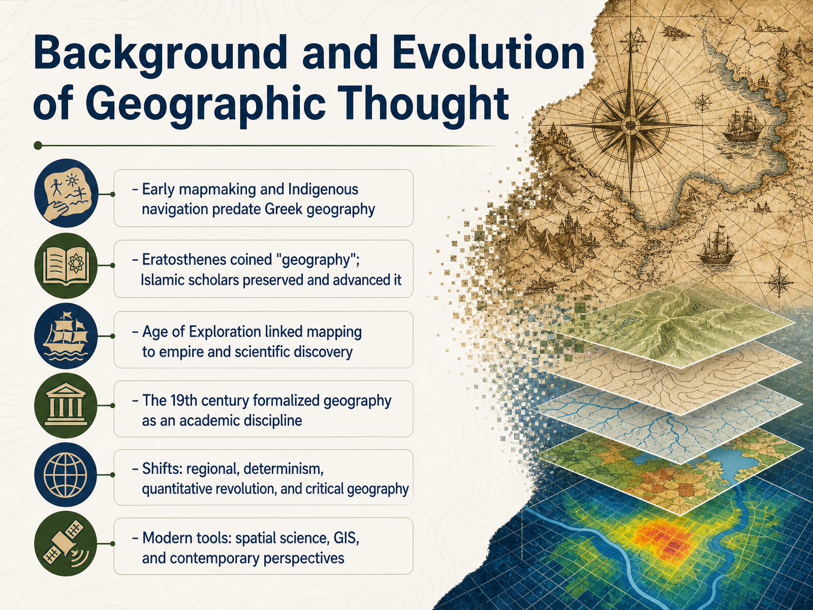
 - 03Background and Evolution of Geographic ThoughtNow let's look at how geographic thought itself has evolved, because the way people have understood the world has never stayed still. Long before Eratosthenes coined the term geography in ancient Greece, early mapmakers and Indigenous navigators were already reading landscapes, stars, and ocean currents. The Greek contribution gave us the name, but Islamic scholars later preserved and advanced that knowledge, keeping the tradition alive. During the Age of Exploration, mapping became closely tied to empire and scientific discovery, which was powerful but also deeply problematic. By the nineteenth century, geography was formalized as an academic discipline. Since then, the field has shifted through several major movements. First came regional description, then environmental determinism, followed by the quantitative revolution with its focus on statistics and models, and later critical geography, which questioned the assumptions behind all of it. Today, we work with spatial science, GIS, and a range of contemporary perspectives that build on this long history. That history brings us directly to some core vocabulary every geographer uses. Next, we will explore place, space, scale, and region.
 en.wikipedia.orgeolss.netsciencedirect.com+21 min
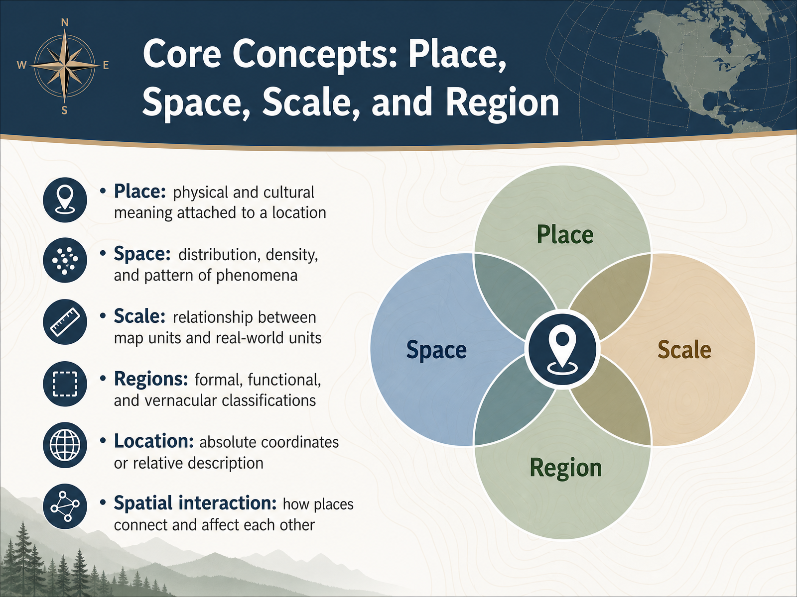
 - 04Core Concepts: Place, Space, Scale, and RegionNow let’s get familiar with a few core concepts that geographers use to make sense of the world. Think of these as the basic vocabulary of the field. First, place. Place is about more than a dot on a map. It describes the physical and cultural meaning attached to a location, like the way a neighborhood feels, or why a certain city park matters to local residents. Then there is space, which looks at how phenomena are distributed, how dense they are, and what patterns they form. Scale is the relationship between map units and real-world units, so a small scale map shows a large area with less detail, while a large scale map zooms in on a smaller area with much more detail. Regions help us group places in useful ways, and they can be formal, functional, or vernacular. Location can be absolute, like coordinates, or relative, like describing something as being north of the river. Finally, spatial interaction reminds us that places are connected. Events in one area can affect another, sometimes far away. Next, we’ll build on these ideas by looking at maps, coordinates, projections, and geospatial data.
 link.springer.comgeo.libretexts.orggeos.ed.ac.uk+22 min
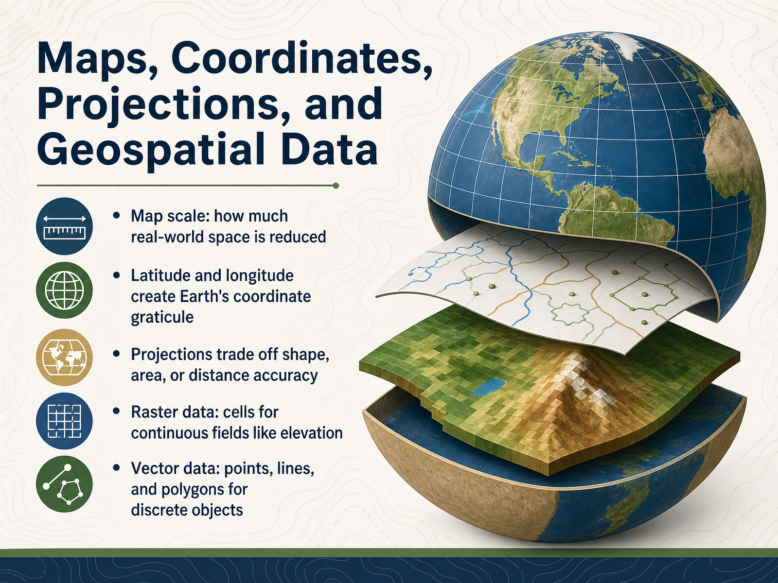
 - 05Maps, Coordinates, Projections, and Geospatial DataNow let’s talk about how we actually build maps and make them useful. Maps are reductions of the real world. Map scale tells us how much real-world space has been shrunk down, which is why a small-scale map shows a large area with less detail, while a large-scale map shows a smaller area with much more detail. To place anything accurately, we rely on latitude and longitude. Together, these lines create a coordinate graticule, a kind of address system for the entire planet. But turning our three-dimensional Earth into a flat map always involves trade-offs. Every projection must distort something, so mapmakers choose whether to preserve shape, area, or distance, depending on the map’s purpose. When we move into digital mapping, we also meet two main types of geospatial data. Raster data divides space into a grid of cells, which is great for continuous fields like elevation or temperature. Vector data uses points, lines, and polygons to represent discrete objects like buildings, roads, and lakes. Understanding these data types helps us choose the right tool for the question we’re asking. Next, we’ll shift from how we represent the Earth to the physical systems that shape it: land, water, air, and life.
 link.springer.comgeo.libretexts.orggeos.ed.ac.uk+22 min
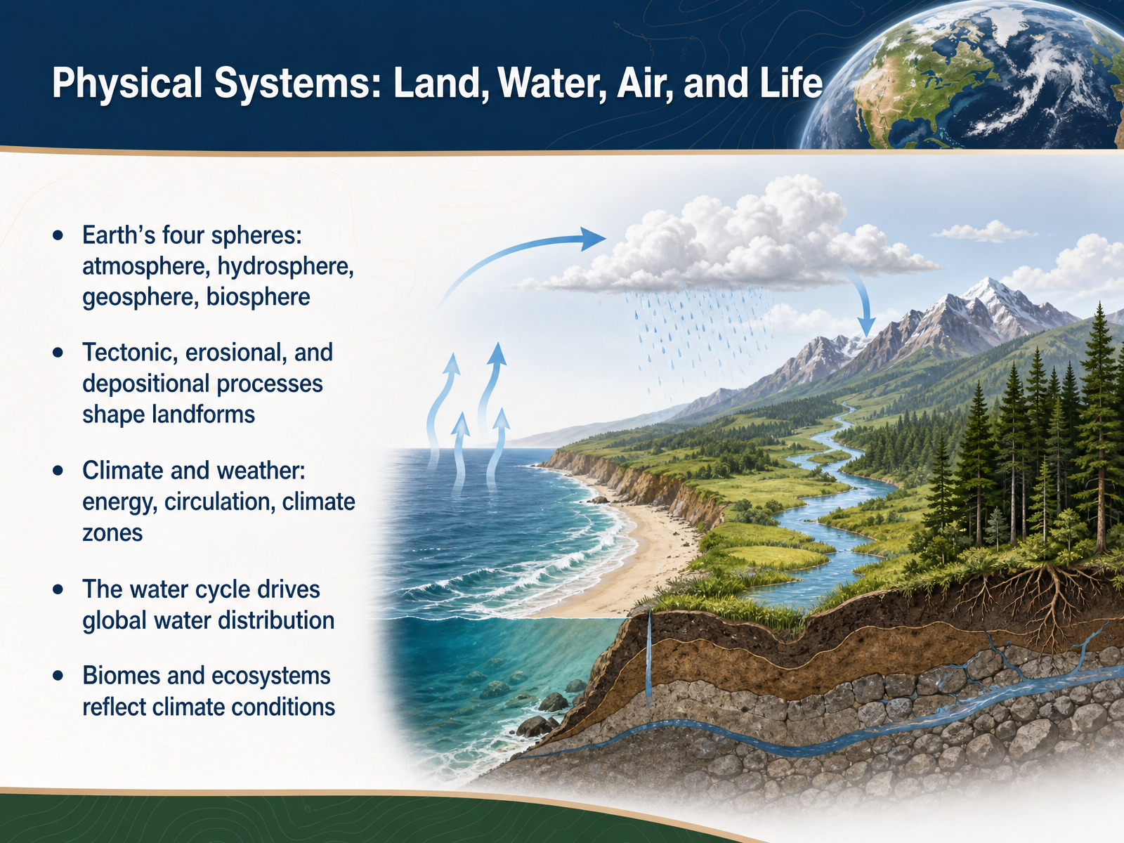
 - 06Physical Systems: Land, Water, Air, and LifeNow let’s think about the physical systems that shape the surface of our planet. Earth is made up of four connected spheres: the atmosphere, the air around us; the hydrosphere, all water in its different forms; the geosphere, the rocks and land beneath our feet; and the biosphere, all living things. None of these spheres works alone. Landforms, for example, are shaped by slow tectonic forces that build mountains, and by erosion and deposition that wear them down and carry material to new places. When we talk about climate and weather, we are really talking about how energy from the sun moves through the atmosphere and oceans. Uneven heating and circulation create the climate zones that give different parts of the world their characteristic temperatures and rainfall. Water ties much of this together through the water cycle, as it evaporates, moves through the air, falls as precipitation, and returns through rivers and groundwater. These patterns of climate then help determine the biomes we see, such as tropical forests, deserts, and tundra, each with distinct ecosystems adapted to local conditions. So land, water, air, and life are not separate topics; they are parts of one integrated Earth system. Next, we will turn our attention to human systems and population geography.
 ugc.berkeley.edugeo.libretexts.orgnca5.climate.us+22 min
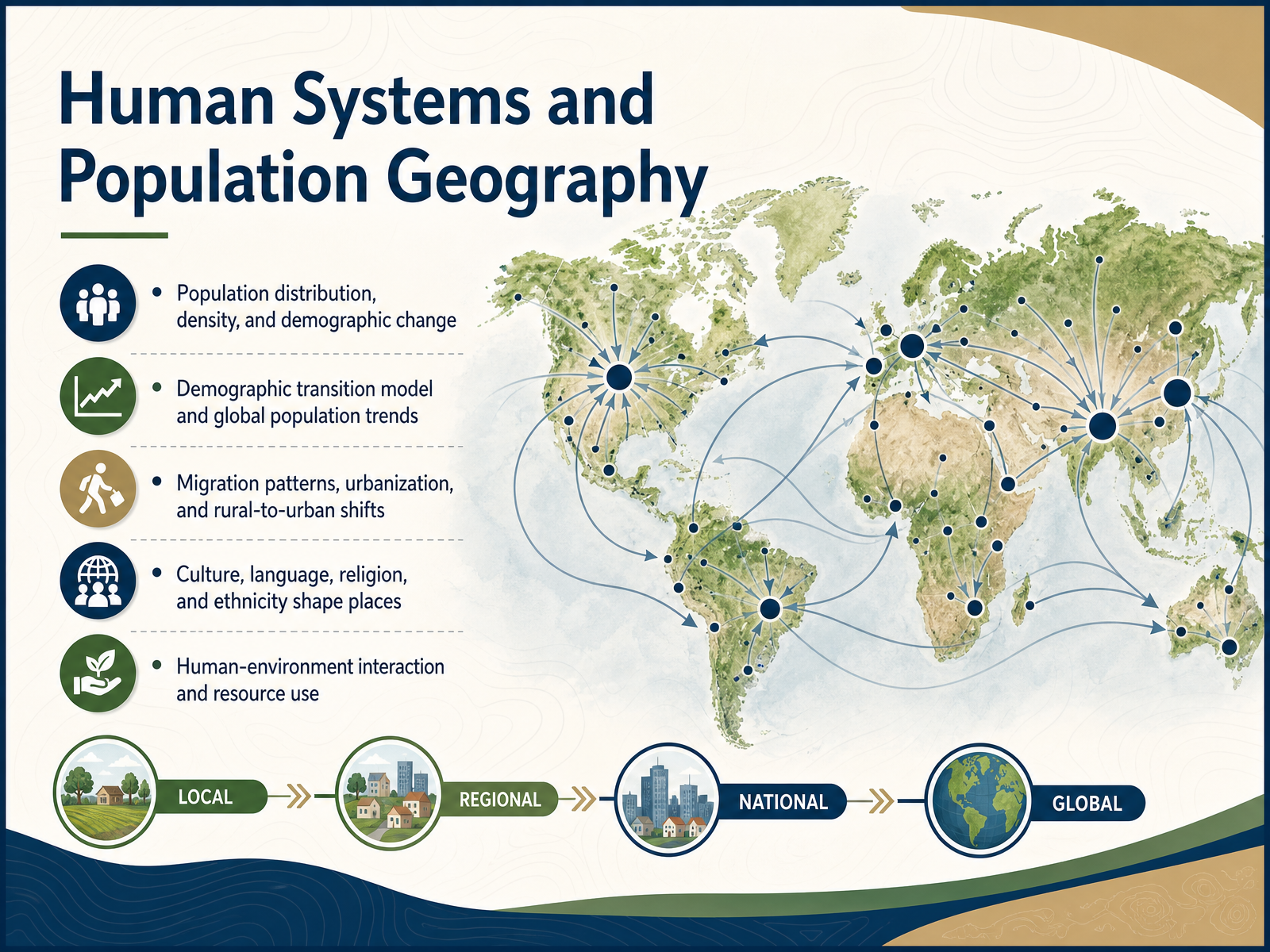
 - 07Human Systems and Population GeographyNow let's turn to the human side of geography. This is where we look at where people live, how many of us there are, and why those patterns matter. Population is not spread evenly across the earth. Some places are incredibly crowded, while others remain nearly empty. Geographers study that distribution and its density. They also look at demographic change, using tools like the demographic transition model, which helps explain how birth and death rates shift as societies develop. That model connects directly to global trends we see today. Migration is another huge piece of the story. People move from rural areas into cities, and that shift is reshaping countries, especially in lower-income regions where urban growth is fastest. Culture also shapes places in profound ways. Language, religion, and ethnicity all leave marks on the landscape, creating regions with distinct identities. And all of this ties back to how humans use resources and interact with their environment. These systems are the engine behind much of what we see on any map of human activity. Next, we'll explore economic and political geography, where these human patterns meet power and trade.
 2 min
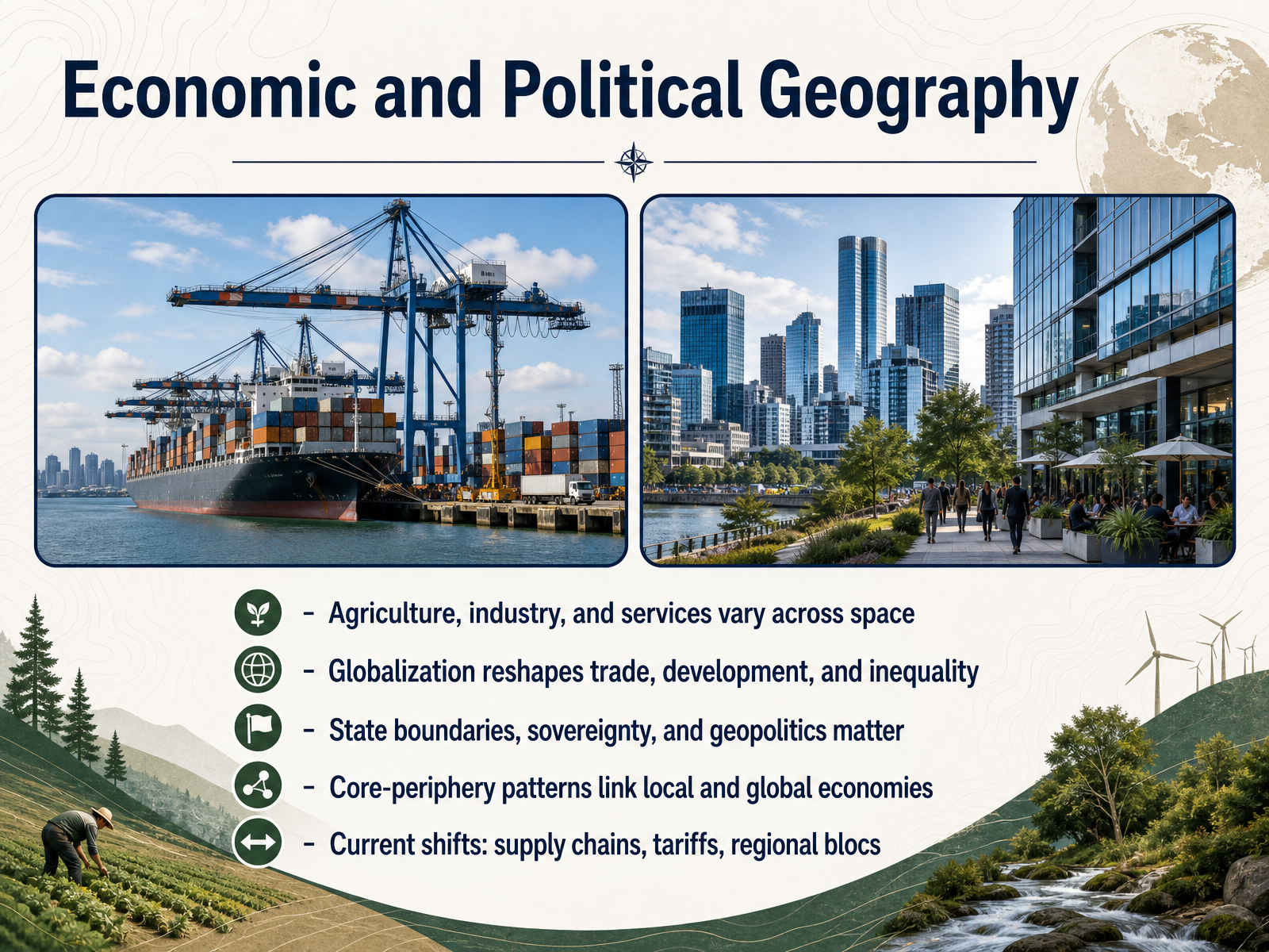
2 min - 08Economic and Political GeographyNow let us bring economics and politics together, because they shape each other across space. Where agriculture, industry, and services locate is never random. It reflects labor, resources, infrastructure, and policy, and it creates uneven patterns of opportunity within and between countries. Globalization has reorganized those patterns, reshaping trade, development, and inequality. It has not erased distance. Instead, geography often matters more within countries, as some regions gain from trade while others lose jobs and wages. State boundaries, sovereignty, and geopolitics also remain central. Borders define markets, regulate flows, and shape security choices. One useful lens here is the core-periphery pattern, where wealth and decision-making concentrate in certain regions while others supply labor, resources, or lower-cost production. This pattern links local economies to global networks, but it also creates dependency and uneven development. Today these dynamics are shifting. Supply chains, tariffs, and regional blocs are reshaping who trades with whom, and how. Firms and states increasingly balance efficiency with security, sometimes favoring nearby or politically aligned partners. That means geography is not just a backdrop for economic and political life; it is an active force shaping both. In the next slide, we will step back and examine regional geography and global patterns.
 2 min
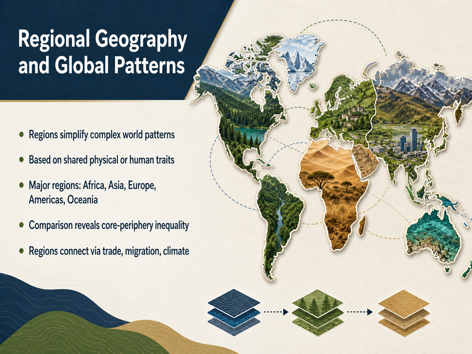
2 min - 09Regional Geography and Global PatternsNow let's zoom back out and think about regions themselves. A region is simply a way to group parts of the world that share something in common, like a similar climate, a shared language, or a connected economy. We often use broad regional names, such as Africa, Asia, Europe, the Americas, and Oceania. These groupings help us simplify an incredibly complex planet and spot big global patterns. When we compare regions, we often see a core-periphery pattern. Wealth and power tend to concentrate in core areas, while peripheral areas often supply raw materials and face more economic challenges. But regions are never really isolated. They are linked together through trade, the movement of people, and even shared climate systems. So a region is not just a box on a map. It is a useful tool for understanding how our interconnected world is organized and how inequality can be mapped across space. Next, we will look at the practical side of geography and see how we use geographic skills and tools to investigate these patterns.
 1 min
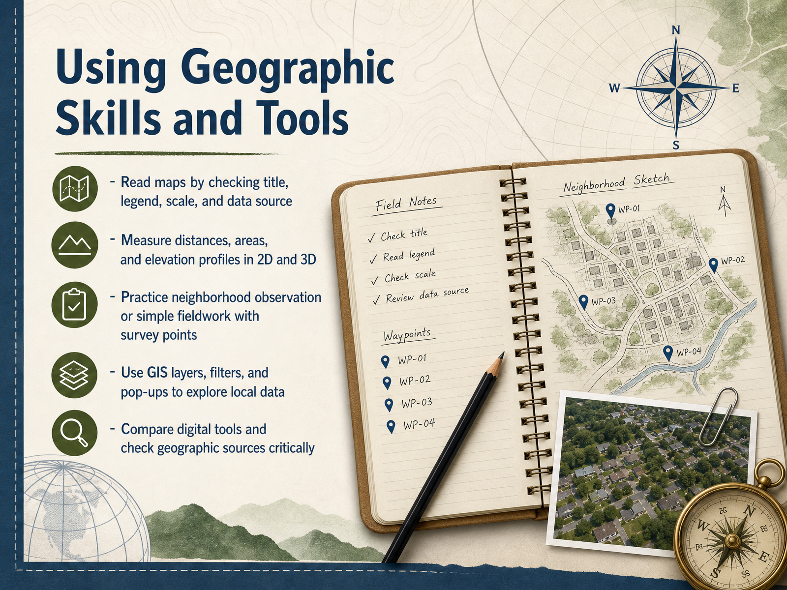
1 min - 10Using Geographic Skills and ToolsMoving on, let's talk about the practical skills that help us actually use geography. Reading a map starts before you look at the location itself. Check the title, the legend, and the scale, and always note where the data came from. Those details tell you what the map can and cannot say. Then, practice measuring. Whether you use a two-dimensional map or a three-dimensional scene, you can measure distance, area, and even elevation profiles to understand how the land rises and falls. Fieldwork brings this closer to home. Try walking your neighborhood and recording simple observations at survey points. You don't need complex equipment to start thinking spatially. When you're ready for digital tools, GIS layers let you filter data and click on features to see more information in pop-ups. That helps you explore local patterns for yourself. As you work, compare different digital tools and ask critical questions about the source behind any map. A data source always shapes the story being told. Coming up next, we'll connect these skills to geography in current issues.
 2 min
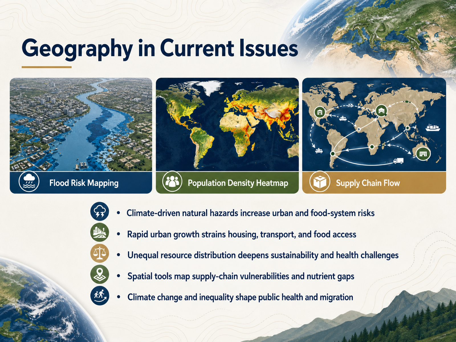
2 min - 11Geography in Current IssuesLet's bring this into the present with a look at how geography shapes the issues we hear about every day. Climate-driven hazards, like floods and heat waves, are making cities and food systems more vulnerable. At the same time, rapid urban growth is putting real pressure on housing, transportation, and access to food. These pressures don't fall evenly, and that inequality deepens challenges for both sustainability and public health. Geographers use spatial tools to map things like supply-chain vulnerabilities and nutrient gaps, revealing exactly where those risks are concentrated. The patterns we see today, from public health to migration, are being shaped by a combination of climate change and inequality. So geography isn't just a way to understand the world; it's a way to see where action is needed. Next, we'll step back and look at the five themes as a practical framework.
 1 min
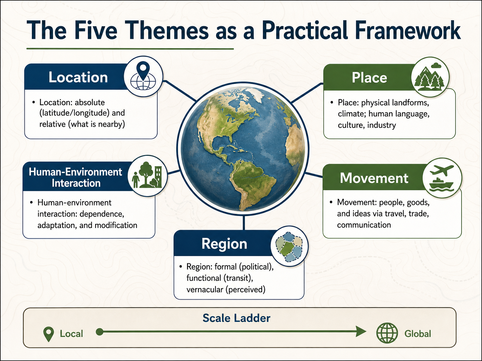
1 min - 12The Five Themes as a Practical FrameworkWe've explored these five themes as individual ideas, so now let's bring them together as a practical toolkit, a way you can look at any place on Earth and ask better questions about it. Start with Location. We can describe an absolute location using coordinates like latitude and longitude. Or we can describe a relative location by asking what's nearby and how places connect. Then there's Place, which is about what makes a spot distinct. That includes the physical landscape and climate, but also the human fingerprint, like language, culture, and local industries. Human-Environment Interaction reminds us to ask how people depend on their surroundings, how they adapt to them, and how they modify them, from building terraces on hillsides to damming rivers. Movement traces the flow of people, goods, and ideas through travel, trade, and communication, because places are rarely isolated. Finally, Region helps us group places. A region can be formal, like a country with political borders. It can be functional, like a public transit service area. Or it can be vernacular, based on how people perceive it, like the American Midwest or the Sun Belt. These five themes aren't a checklist to memorize. They are lenses you can layer together to understand almost any location. Next, we'll shift our focus to geographic perspectives and address some common misconceptions.
 2 min
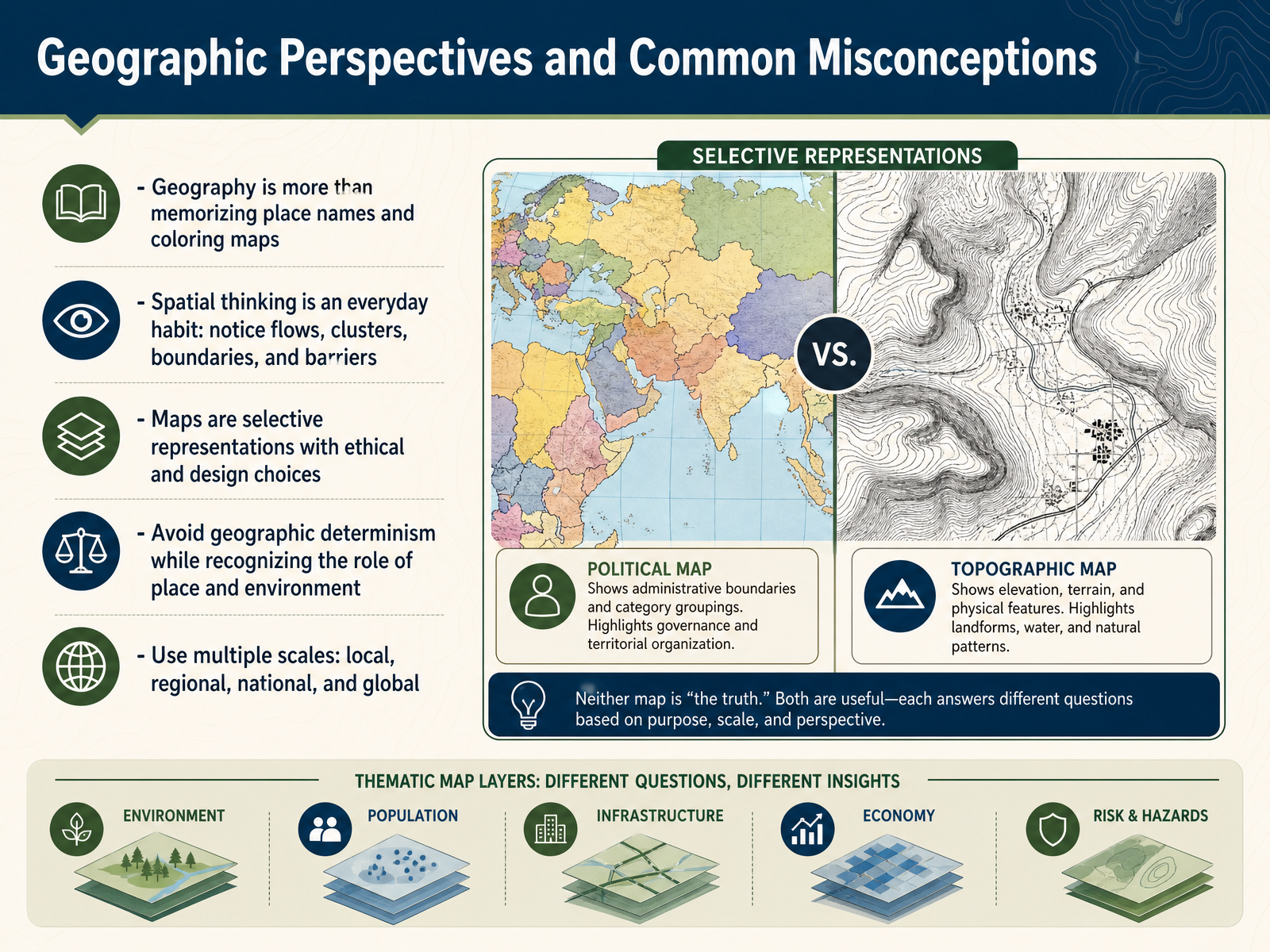
2 min - 13Geographic Perspectives and Common MisconceptionsLet's pause for a moment to clear up some common misconceptions about geography. So often, people remember it as memorizing capitals or coloring in maps. But geography is really a way of thinking, not just a list of facts. Spatial thinking is an everyday habit. You're doing it when you notice the flow of traffic, the clustering of certain shops, or the boundaries between neighborhoods. And a key part of this thinking involves maps. Maps are never neutral pictures. They are selective representations, meaning every map involves design choices and ethical decisions about what to include, what to emphasize, and what to leave out. Now, while we recognize that place and environment matter, we should avoid geographic determinism, which is the idea that a location dictates a single outcome. Instead, we look at the role of place as one factor among many. Finally, good geographic thinking requires flexibility. You need to move between scales, from the local level, like your street, all the way to regional, national, and global perspectives. The questions you ask at one scale often look quite different at another. With this framing in mind, let's move on to a review and some practical applications.
 blog.education.nationalgeographic.orggisetc.comurbanistdispatch.com+22 min
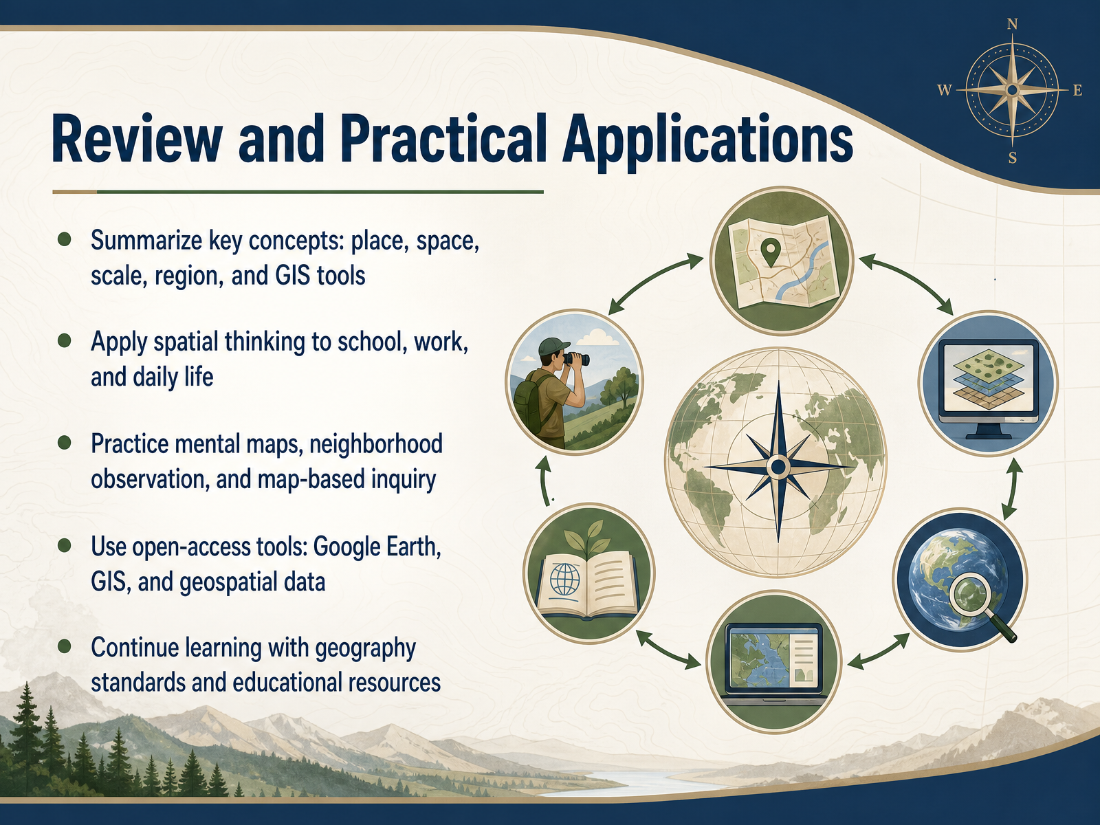
 - 14Review and Practical ApplicationsWe have reached the end of our journey through the fundamentals of geography, so let's take a moment to bring it all together. Throughout this course, we explored how place, space, scale, and region work together to help us understand the world. We also looked at how tools like geographic information systems allow us to layer and analyze spatial data in powerful ways. But the real value of this knowledge comes when you apply it. Start thinking spatially in your everyday life. Pay attention to your neighborhood as you walk or drive through it. Ask yourself why certain businesses are located where they are, or why traffic flows the way it does. You can also practice your mental maps by trying to draw your route to school or work from memory. When you are ready to explore further, open-access tools like Google Earth and public G I S data are excellent resources for map-based inquiry. Geography is not just a subject to study. It is a lens for seeing the world more clearly. Thank you for learning with me, and keep exploring the spaces around you.
 2 min
2 min
Take the deck with you
Download this course as a file — free, no sign-up needed.
- PDF handoutEvery slide page, ready to print or share.15 pages · 5.3 MBDownload
- Narrated PowerPointThe deck that presents itself — every slide carries the digital human's narration video.15 pages · 17.9 MBDownload
- PowerPoint slidesThe full deck as a .pptx — open it in PowerPoint, Keynote, or Google Slides.15 pages · 5.3 MBDownload
Free to use in your own training — please keep the PersonWise credit page at the end.
Have your own deck? Turn it into a course
Sources consulted
Web sources consulted while building this course.
- Geography Daily – National Geographic Education Blog — blog.education.nationalgeographic.org
- Geography in Everyday Life in 2022: How geography is embedded in our everyday lives | gisetc.com — gisetc.com
- 10 Ways Geography has everything to do with Your Everyday Life – The Urbanist Dispatch — urbanistdispatch.com
- Learning to think spatially: ten everyday observations for economists — blogs.worldbank.org
- Why geographic location matters for the global goals | United Nations — un.org
- History of geography — en.wikipedia.org
- Main Stages of Development of Geography — eolss.net
- History and philosophy of geography: Looking back and looking forward — sciencedirect.com
- History of Human Geography | Springer Nature Link — link.springer.com
- History of Geography - Education | National Geographic Society — education.nationalgeographic.org
- Place, Space, Scale, GIS, and Geospatial Analysis — link.springer.com
- 2.2: Map Scale, Coordinate Systems, and Map Projections - Geosciences LibreTexts — geo.libretexts.org
- Space, time, geography — geos.ed.ac.uk
- Basic Geographic Concepts - Geography Realm — geographyrealm.com
- 3. Scale and Projections – Mapping, Society, and Technology — open.lib.umn.edu
- UGC 101 Part 1: How the Earth System Works - Understanding Global Change — ugc.berkeley.edu
- 2: The Earth System - Geosciences LibreTexts — geo.libretexts.org
- Fifth National Cimate Assessment Ch. 3 Earth Systems Processes — nca5.climate.us
- The Sum of Its Parts: Earth as a System | Center for Science Education — scied.ucar.edu
- 2.9: What Is the Earth System? - Geosciences LibreTexts — geo.libretexts.org