All History & Humanities courses
78 courses
Courses in this topic
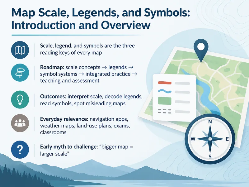
Map Scale, Legends, and Symbols
This training teaches learners to read and interpret map scales, legends, and symbols accurately, building essential map literacy skills for navigation and geographic analysis.
14 slides·28 min
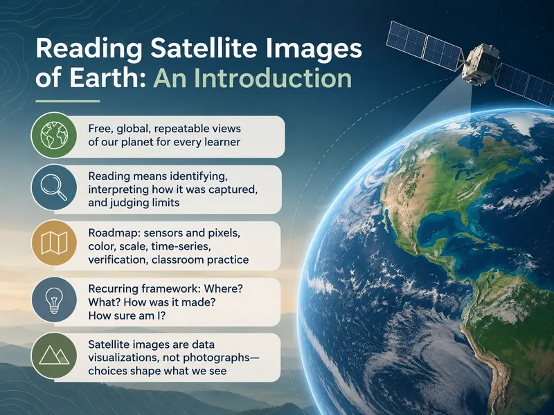
Satellite Image Interpretation
Learn to interpret satellite images of Earth in this training designed for remote sensing beginners, covering key techniques for analyzing imagery.
14 slides·28 min
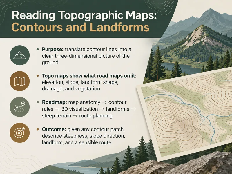
Reading Topographic Maps: Contours and Landforms
This training teaches participants to read topographic maps, interpret contour lines, and identify landforms—ideal for hikers, outdoor enthusiasts, and GIS learners building foundational map skills.
14 slides·28 min
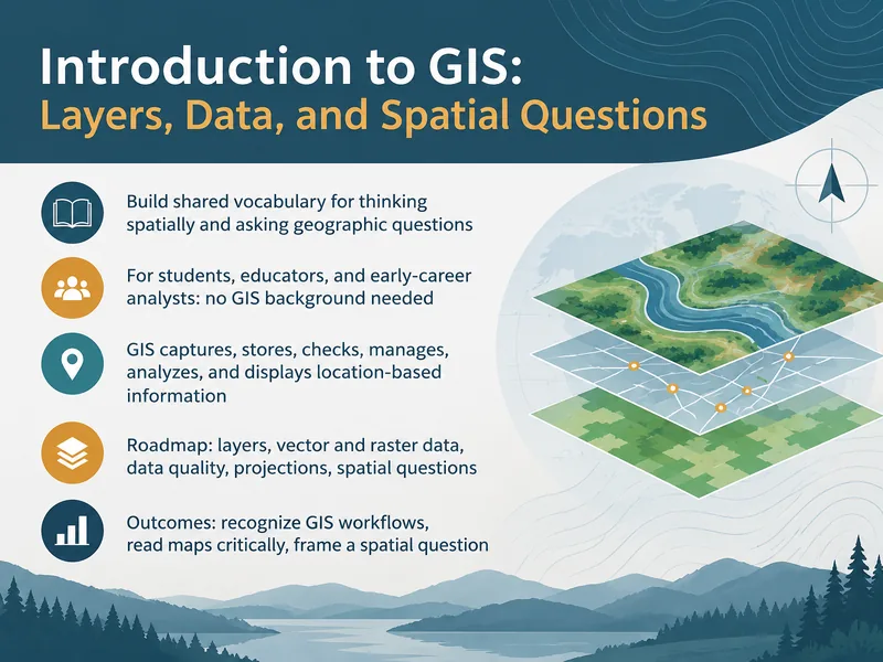
Introduction to GIS: Layers and Spatial Questions
This introductory GIS training teaches learners to work with layers and spatial data and to ask and answer spatial questions. It is designed for beginners new to GIS concepts.
14 slides·28 min
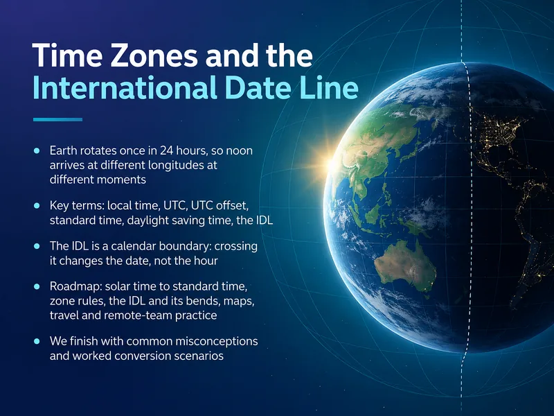
Time Zones and the International Date Line
This training explains how time zones and the International Date Line work, helping global teams schedule across regions and avoid date and time confusion.
14 slides·28 min
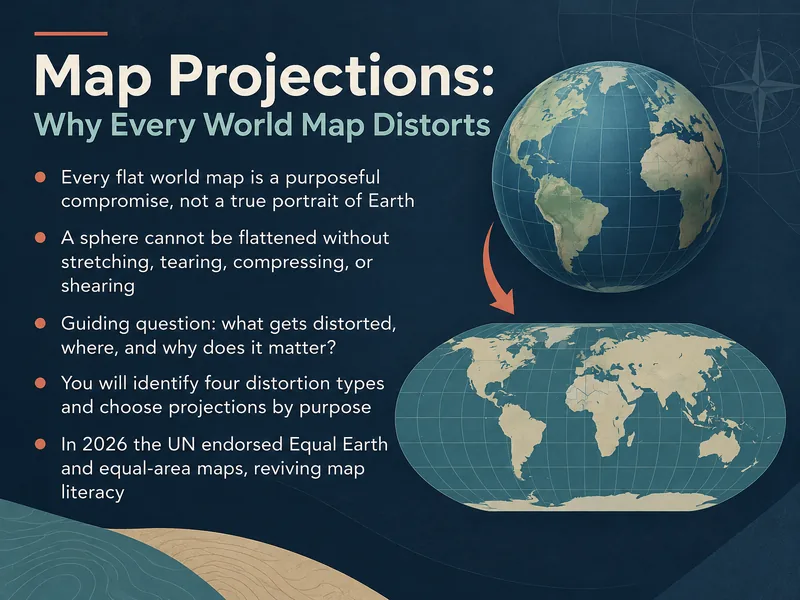
Map Projections and World Map Distortion
This training explains why all world maps distort reality and helps learners understand the trade-offs behind common map projections.
14 slides·28 min